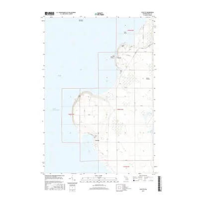
2017 Map of Fayette
USGS Topo · Published 2017About this map
The Garden Peninsula shoreline on the eastern edge of Big Bay de Noc defines this portion of the Michigan coast. The small settlement of Fayette sits tucked behind Middle Bluff at Snail Shell Harbor, adjacent to a designated State Park. This area of Delta County is marked by several small family and parish burial grounds, including Hinks Cem, Saint Peters Cem, and the Saint Josephs Catholic Church Cem. To the south, the terrain rises at Burnt Bluff before descending toward the inlet of Sac Bay. The land is networked by a grid of rural roads such as GG 25 and 8th RD, which serve the scattered homesteads and the nearby Sac Bay Cem. The landscape transitions from the high bluffs over Lake Michigan to interior wetlands like Mud Lake and Little Sucker Lake, reflecting a late 20th-century coastal pattern of conservation and quiet rural residency.
Find a feature on this map
46 named features on this map. Tap any name to fly to it.
Don’t see what you’re looking for? This feature index may not catch every label — zoom into the map to look around manually.
Map Details
Editions of this 2017 Fayette Map
This is the sole edition of this map. No revisions or reprints were ever made.
Other maps of this area

1932 · Burnt Bluff SW
USGS Topo · 1:31,680

1932 · Burnt Bluff NE
USGS Topo · 1:31,680

1932 · Burnt Bluff NW
USGS Topo · 1:31,680

1932 · Garden SE
USGS Topo · 1:31,680

1932 · Rapid River SE
USGS Topo · 1:31,680

1954 · Escanaba
USGS Topo · 1:250,000

1957 · Escanaba
USGS Topo · 1:250,000

1958 · Escanaba
USGS Topo · 1:250,000

1958 · Garden
USGS Topo · 1:62,500

1958 · Peninsula Point
USGS Topo · 1:62,500