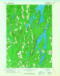
1966 Map of Fayette
USGS Topo · Published 1968About this map
Fayette Corner and North Fayette anchor this mid-1960s survey of the lake-studded landscape on the border of Kennebec and Androscoggin counties. The terrain is defined by a dense network of water bodies, including the expansive Echo Lake, David Pond, and Pocasset Lake. This era shows a transition in land use, where traditional agricultural and milling sites like Richmond Mill exist alongside recreational developments such as Camp Winnebago and the East Livermore Campgrounds.
Find a feature on this map
59 named features on this map. Tap any name to fly to it.
Don’t see what you’re looking for? This feature index may not catch every label — zoom into the map to look around manually.
Map Details
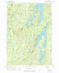
Editions of this 1966 Fayette Map
2 editions found
Other maps of this area

1892 · Augusta
USGS Topo · 1:62,500

1894 · Norridgewock
USGS Topo · 1:62,500

1898 · Norridgewock
USGS Topo · 1:62,500

1910 · Livermore
USGS Topo · 1:62,500

1912 · Livermore
USGS Topo · 1:62,500

1924 · Farmington
USGS Topo · 1:62,500

1941 · Livermore
USGS Topo · 1:62,500

1941 · Augusta
USGS Topo · 1:62,500

1943 · Augusta
USGS Topo · 1:62,500

1943 · Norridgewock
USGS Topo · 1:62,500