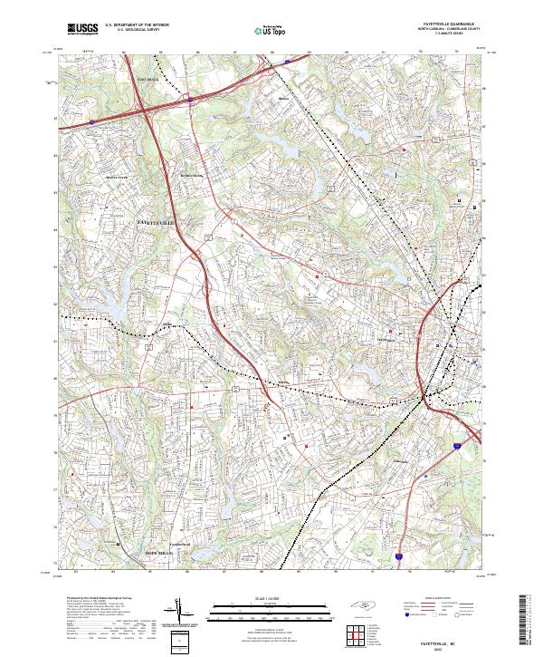
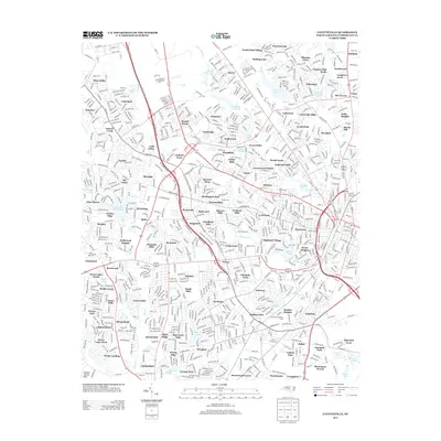
2022 Map of Fayetteville
USGS Topo · Published 2022About this map
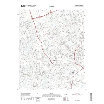
The dense suburban and institutional expansion of Fayetteville dominates this Cumberland County landscape, where modern transportation corridors like I-295 and Us HWY 401 intersect historic residential pockets. The survey illustrates a significant educational footprint, anchored by Fayetteville State University and Fayetteville Technical Community College, alongside the civic center at the Cumberland County Courthouse.
Find a feature on this map
38 named features on this map. Tap any name to fly to it.
Don’t see what you’re looking for? This feature index may not catch every label — zoom into the map to look around manually.
Map Details
Editions of this 2022 Fayetteville Map
This is the sole edition of this map. No revisions or reprints were ever made.
Historical Maps of Fayetteville Through Time
11 maps found

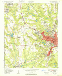
1948 Fayetteville
Cumberland County, NC
1950 Fayetteville
Cumberland County, NC

1957 Fayetteville
Cumberland County, NC
1957 Fayetteville
Cumberland County, NC
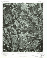
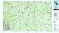
1976 Fayetteville
Cumberland County, NC
1986 Fayetteville
Cumberland County, NC
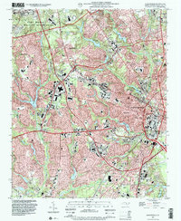
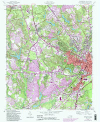
1997 Fayetteville
Cumberland County, NC
2013 Fayetteville
Cumberland County, NC
2016 Fayetteville
Cumberland County, NC
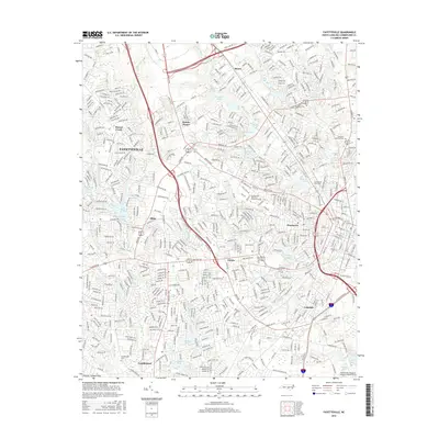
2019 Fayetteville
Cumberland County, NC
2022 Fayetteville
Cumberland County, NC