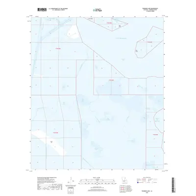
2018 Map of Fearman Lake
USGS Topo · Published 2018About this map
Belle Isle sits amidst an intricate network of coastal marshlands and shipping lanes in this late 2010s survey of Vermilion Parish. The landscape is defined by its intersection of natural and engineered waterways, where the Intracoastal Waterway meets the Freshwater Bayou Canal and Schooner Bayou near the northern boundary. This region demonstrates the heavy reliance on canal infrastructure for transit through the southern Louisiana wetlands, with the Belle Isle Canal and Last Point Canal cutting sharp lines through a territory dominated by shallow lakes and expansive bayous.
Find a feature on this map
39 named features on this map. Tap any name to fly to it.
Don’t see what you’re looking for? This feature index may not catch every label — zoom into the map to look around manually.
Map Details
Editions of this 2018 Fearman Lake Map
This is the sole edition of this map. No revisions or reprints were ever made.
Other maps of this area

1932 · Abbeville SW
USGS Topo · 1:31,680

1932 · Abbeville SE
USGS Topo · 1:31,680

1932 · Pecan Island SE
USGS Topo · 1:31,680

1945 · Pecan Island NE
USGS Topo · 1:31,680

1946 · Redfish Point SW
USGS Topo · 1:31,680

1946 · Schooner Bayou SE
USGS Topo · 1:31,680

1946 · Redfish Point NE
USGS Topo · 1:31,680

1946 · Redfish Point SE
USGS Topo · 1:31,680

1946 · Redfish Point NW
USGS Topo · 1:31,680

1951 · Pecan Island
USGS Topo · 1:62,500