
1946 Map of Redfish Point SW
USGS Topo · Published 1946About this map
The coastal landscape of Vermilion Parish takes center stage in this 1946 advance sheet, revealing the delicate balance between the marshy interior and the open waters of the Gulf of Mexico. A series of significant engineering efforts are evident through the long, straight cuts of the Cutoff Canal, Mc Ilhenny Canal, and Last Point Canal, which intersect the wetlands to manage water flow and provide transit. Along the immediate shoreline, the land rises into the distinct wooded ridges known as Chenier Au Tigre, a crucial geographic feature for local habitation in this low-lying region. This area is anchored by St Francis Ch and the settlement at LeTigre, which sit just above the expansive Mud Flat. The map highlights the early 20th-century transition of the Louisiana coast as industrial canal-building began to reshape the natural drainage of Belle Isle Bayou.
Find a feature on this map
11 named features on this map. Tap any name to fly to it.
Don’t see what you’re looking for? This feature index may not catch every label — zoom into the map to look around manually.
Map Details
Editions of this 1946 Redfish Point SW Map
This is the sole edition of this map. No revisions or reprints were ever made.
Other maps of this area

1932 · Pecan Island SE
USGS Topo · 1:31,680

1945 · Pecan Island NE
USGS Topo · 1:31,680

1946 · Redfish Point NE
USGS Topo · 1:31,680

1946 · Redfish Point SE
USGS Topo · 1:31,680

1946 · Redfish Point NW
USGS Topo · 1:31,680

1951 · Pecan Island
USGS Topo · 1:62,500

1951 · Cheniere Au Tigre
USGS Topo · 1:62,500
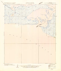
1954 · Redfish Point SE
USGS Topo · 1:31,680
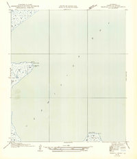
1954 · Redfish Point NE
USGS Topo · 1:31,680
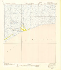
1954 · Redfish Point SW
USGS Topo · 1:31,680