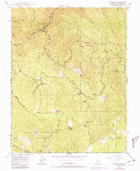
1947 Map of Feliciana Mtn.
USGS Topo · Published 1981About this map
Gold mining operations and mountainous terrain define this 1947 survey of the foothills east of Mariposa. The Merced River cuts through the northwest corner at Briceburg, while the surrounding slopes of the Sierra National Forest are dotted with historic extraction sites like the Schroeder Mine, Feliciana Mine, and Buffalo Mine. These sites, along with the King Solomon Mine, trace a mid-century landscape of industrial activity and rugged access routes such as Ponderosa Way.
Find a feature on this map
31 named features on this map. Tap any name to fly to it.
Don’t see what you’re looking for? This feature index may not catch every label — zoom into the map to look around manually.
Map Details
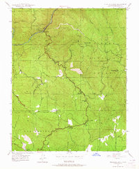
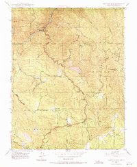
Editions of this 1947 Feliciana Mtn. Map
3 editions found
Other maps of this area

1893 · Sonora
USGS Topo · 1:125,000

1896 · Sonora
USGS Topo · 1:125,000

1897 · Sonora
USGS Topo · 1:125,000

1897 · Yosemite
USGS Topo · 1:125,000

1898 · Sonora
USGS Topo · 1:125,000

1900 · Yosemite
USGS Topo · 1:125,000

1903 · Yosemite
USGS Topo · 1:125,000

1909 · Yosemite
USGS Topo · 1:125,000

1912 · Mariposa
USGS Topo · 1:125,000

1919 · Indian Gulch
USGS Topo · 1:48,000