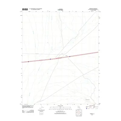
2012 Map of Fenner
USGS Topo · Published 2012About this map
Fenner occupies a central point in the high desert of San Bernardino County, situated where the historic National Trails Hwy crosses a landscape defined by expansive drainage patterns. The topography is dominated by the broad paths of Watson Wash and Woods Wash, which channel seasonal water from the surrounding highlands across the arid plains. To the southeast, the foothills of the Piute Mountains emerge, providing a sharp contrast to the alluvial basins that characterize the rest of the quadrangle.
Find a feature on this map
7 named features on this map. Tap any name to fly to it.
Don’t see what you’re looking for? This feature index may not catch every label — zoom into the map to look around manually.
Map Details
Editions of this 2012 Fenner Map
This is the sole edition of this map. No revisions or reprints were ever made.
Other maps of this area

1942 · Amboy
USGS Topo · 1:250,000

1943 · Amboy
USGS Topo · 1:250,000

1943 · Essex
USGS Topo · 1:62,500

1943 · Danby
USGS Topo · 1:62,500

1943 · Fenner
USGS Topo · 1:62,500

1954 · Needles
USGS Topo · 1:250,000

1956 · Needles
USGS Topo · 1:250,000

1956 · Fenner
USGS Topo · 1:62,500

1956 · Essex
USGS Topo · 1:62,500

1956 · Colton Well
USGS Topo · 1:62,500