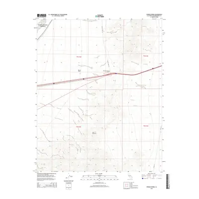
2015 Map of Fenner Spring
USGS Topo · Published 2015About this map
Mojave National Preserve encompasses the northwestern portion of this 2015 survey, where the arid environment of the Mojave Desert meets the rising elevations of the Piute Mountains. This landscape is defined by its critical water sources and transportation corridors, most notably Fenner Spring located in the southwestern quadrant. Historically, these springs served as vital stops for travelers crossing the desert, a role that evolved into the modern infrastructure seen today.
Find a feature on this map
12 named features on this map. Tap any name to fly to it.
Don’t see what you’re looking for? This feature index may not catch every label — zoom into the map to look around manually.
Map Details
Editions of this 2015 Fenner Spring Map
This is the sole edition of this map. No revisions or reprints were ever made.
Other maps of this area

1942 · Amboy
USGS Topo · 1:250,000

1943 · Center Hills
USGS Topo · 1:62,500

1943 · Amboy
USGS Topo · 1:250,000

1943 · Essex
USGS Topo · 1:62,500

1943 · Fenner
USGS Topo · 1:62,500

1943 · Bannock
USGS Topo · 1:62,500

1954 · Needles
USGS Topo · 1:250,000

1956 · Needles
USGS Topo · 1:250,000

1956 · Fenner
USGS Topo · 1:62,500

1956 · Essex
USGS Topo · 1:62,500