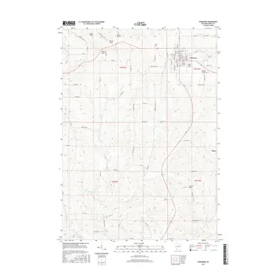
2016 Map of Fennimore
USGS Topo · Published 2016About this map
Fennimore serves as the primary hub in this corner of Grant County, where the street grid expands south of Prairie Cem and the Southwest Wisconsin Technical Coll. The landscape is defined by its prominent elevation features, including Military Ridge and Liberty Ridge, which dictate the winding paths of rural connectors like Mount Ridge Rd and Liberty Ridge Rd. A distinctive agricultural and aviation footprint is visible at the Stupek Farms Airport on the eastern edge of town.
Find a feature on this map
79 named features on this map. Tap any name to fly to it.
Don’t see what you’re looking for? This feature index may not catch every label — zoom into the map to look around manually.
Map Details
Editions of this 2016 Fennimore Map
This is the sole edition of this map. No revisions or reprints were ever made.
Other maps of this area

1900 · Lancaster
USGS Topo · 1:125,000

1904 · Lancaster
USGS Topo · 1:125,000

1908 · Lancaster
USGS Topo · 1:125,000

1926 · Wauzeka
USGS Topo · 1:62,500

1933 · Boscobel
USGS Topo · 1:62,500

1958 · La Crosse
USGS Topo · 1:250,000

1959 · Dubuque
USGS Topo · 1:250,000

1961 · Dubuque
USGS Topo · 1:250,000

1961 · La Crosse
USGS Topo · 1:250,000

1962 · Dubuque
USGS Topo · 1:250,000