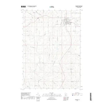
2018 Map of Fennimore
USGS Topo · Published 2018About this map
The city of Fennimore serves as the central hub of this Grant County landscape, situated atop the prominent Military Ridge. This high ground separates the drainage basins of the area, with the Fennimore Fork flowing toward the northeast while the Grant River and Klondike Springs emerge in the southwest corner of the quadrangle. The map captures the grid-style development of the town, featuring street names from Lincoln Ave to Coolidge St, alongside local infrastructure like the Stupek Farms Airport. To the south, the smaller settlements of Stitzer and Liberty Ridge maintain their rural character. Genealogists and local historians can locate the Prairie Cem north of town and trace family-named routes such as Adkins Ridge, which reflect the generations of farming families that have shaped this corner of Wisconsin.
Find a feature on this map
77 named features on this map. Tap any name to fly to it.
Don’t see what you’re looking for? This feature index may not catch every label — zoom into the map to look around manually.
Map Details
Editions of this 2018 Fennimore Map
This is the sole edition of this map. No revisions or reprints were ever made.
Other maps of this area

1900 · Lancaster
USGS Topo · 1:125,000

1904 · Lancaster
USGS Topo · 1:125,000

1908 · Lancaster
USGS Topo · 1:125,000

1926 · Wauzeka
USGS Topo · 1:62,500

1933 · Boscobel
USGS Topo · 1:62,500

1958 · La Crosse
USGS Topo · 1:250,000

1959 · Dubuque
USGS Topo · 1:250,000

1961 · Dubuque
USGS Topo · 1:250,000

1961 · La Crosse
USGS Topo · 1:250,000

1962 · Dubuque
USGS Topo · 1:250,000