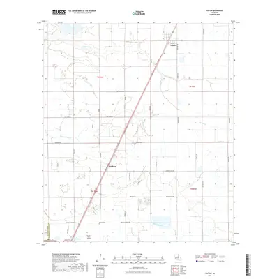
2020 Map of Fenton
USGS Topo · Published 2020About this map
The town of Fenton and the community of Woodlawn define the rural character of this Southwest Louisiana landscape along the boundary of Calcasieu and Jefferson Davis parishes. The terrain is a complex network of waterways, featuring Bayou Serpent, Little Bayou, and the winding path of Bayou Arceneaux, which cuts across the central prairies. Historically significant family names are preserved in the local road network, including Abie Fontenot Rd, Lebouef Rd, and Cormier Village Rd, reflecting the deep-rooted settlement patterns of the region.
Find a feature on this map
48 named features on this map. Tap any name to fly to it.
Don’t see what you’re looking for? This feature index may not catch every label — zoom into the map to look around manually.
Map Details
Editions of this 2020 Fenton Map
This is the sole edition of this map. No revisions or reprints were ever made.
Other maps of this area

1932 · Lake Charles NE
USGS Topo · 1:31,680

1942 · Lake Charles
USGS Topo · 1:62,500

1946 · Lacassine
USGS Topo · 1:31,680

1947 · Kinder
USGS Topo · 1:31,680

1947 · Fenton
USGS Topo · 1:31,680

1947 · Hecker
USGS Topo · 1:31,680

1947 · Pine Island
USGS Topo · 1:31,680

1947 · Welsh
USGS Topo · 1:31,680

1947 · Edna
USGS Topo · 1:31,680

1947 · Thompson Bluff
USGS Topo · 1:31,680