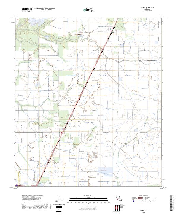
2024 Map of Fenton
USGS Topo · Published 2024About this map
Fenton and Woodlawn anchor this agricultural landscape in Jefferson Davis Parish, where modern parish roads follow the precise geometric lines of the Public Land Survey System. The area is defined by a dense network of watercourses, including the meandering Bayou Arceneaux and Little Bayou, which cross the township boundaries of T8S and T9S. The drainage patterns and road names like Miller Oilfield Rd and Turf Grass Rd reflect the local economy's reliance on the land's resources.
Find a feature on this map
53 named features on this map. Tap any name to fly to it.
Don’t see what you’re looking for? This feature index may not catch every label — zoom into the map to look around manually.
Map Details
Editions of this 2024 Fenton Map
This is the sole edition of this map. No revisions or reprints were ever made.
Other maps of this area

1932 · Lake Charles NE
USGS Topo · 1:31,680

1942 · Lake Charles
USGS Topo · 1:62,500

1946 · Lacassine
USGS Topo · 1:31,680

1947 · Kinder
USGS Topo · 1:31,680

1947 · Fenton
USGS Topo · 1:31,680

1947 · Hecker
USGS Topo · 1:31,680

1947 · Pine Island
USGS Topo · 1:31,680

1947 · Welsh
USGS Topo · 1:31,680

1947 · Edna
USGS Topo · 1:31,680

1947 · Thompson Bluff
USGS Topo · 1:31,680