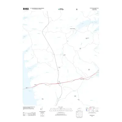
2013 Map of Fenton
USGS Topo · Published 2013About this map
Kentucky Lake and Lake Barkley dominate this narrow strip of land in western Kentucky, a landscape defined by the peninsula between two massive reservoirs. The small settlements of Fenton and Golden Pond are connected by a central roadway that crosses the Eggner Ferry Bridge, providing a critical link across the water. Between these shores, the terrain is marked by numerous hollows and hills, including Bald Knob and Gordon Hill, alongside the flowing waters of Crooked Cr and Long Cr.
Find a feature on this map
44 named features on this map. Tap any name to fly to it.
Don’t see what you’re looking for? This feature index may not catch every label — zoom into the map to look around manually.
Map Details
Editions of this 2013 Fenton Map
This is the sole edition of this map. No revisions or reprints were ever made.
Other maps of this area

1936 · Mont
USGS Topo · 1:24,000

1936 · Fenton
USGS Topo · 1:24,000

1936 · Hiatt
USGS Topo · 1:24,000

1936 · Birmingham
USGS Topo · 1:24,000

1936 · Golden Pond
USGS Topo · 1:48,000

1936 · Rushing
USGS Topo · 1:24,000

1936 · Hico
USGS Topo · 1:24,000
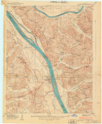
1938 · Birmingham
USGS Topo · 1:24,000
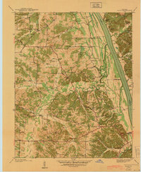
1940 · Hiatt
USGS Topo · 1:24,000

1942 · Hico
USGS Topo · 1:24,000