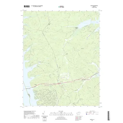
2019 Map of Fenton
USGS Topo · Published 2019About this map
Kentucky Lake and Lake Barkley frame this peninsula in western Kentucky, a landscape defined by the Tennessee Valley Divide and the legacy of the Land Between the Lakes. The settlement of Golden Pond sits at the junction of The Trace Rd and Canton Rd, serving as a central point for the region's recreational and historical routes. Genealogists and local historians can find several established burial grounds, including Pleasant Valley Cem, Jenny Ridge Cem, and Matheny Cem. The terrain is deeply dissected by numerous hollows such as Boardinghouse Hollow and Oakley Hollow, while the Eggner Ferry Bridge provides a vital western link across the water. Notable landmarks like Dead Beaver Spring and the Brush Arbor Camp highlight the area's specific local naming conventions and historic sites.
Find a feature on this map
60 named features on this map. Tap any name to fly to it.
Don’t see what you’re looking for? This feature index may not catch every label — zoom into the map to look around manually.
Map Details
Editions of this 2019 Fenton Map
This is the sole edition of this map. No revisions or reprints were ever made.
Other maps of this area

1936 · Mont
USGS Topo · 1:24,000

1936 · Fenton
USGS Topo · 1:24,000

1936 · Hiatt
USGS Topo · 1:24,000

1936 · Birmingham
USGS Topo · 1:24,000

1936 · Golden Pond
USGS Topo · 1:48,000

1936 · Rushing
USGS Topo · 1:24,000

1936 · Hico
USGS Topo · 1:24,000
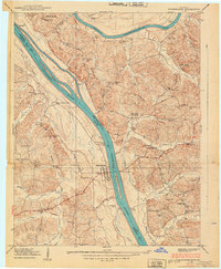
1938 · Birmingham
USGS Topo · 1:24,000
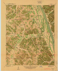
1940 · Hiatt
USGS Topo · 1:24,000

1942 · Hico
USGS Topo · 1:24,000