
1936 Map of Fenton
USGS Topo · Published 1936About this map
The Tennessee River flows along the western boundary of this 1936 survey, a period when river landings like Smith Landing, Dixie Landing, and Aurora Landing still served as vital connection points for the local economy. The terrain is defined by the Tennessee Basin and a network of named hollows and creeks, including Crooked Creek and Grace Creek. Settlement patterns are centered around small communities such as Golden Pond, Fenton, and Energy, which are linked by the Davis Highway.
Find a feature on this map
53 named features on this map. Tap any name to fly to it.
Don’t see what you’re looking for? This feature index may not catch every label — zoom into the map to look around manually.
Map Details
Editions of this 1936 Fenton Map
This is the sole edition of this map. No revisions or reprints were ever made.
Other maps of this area

1936 · Mont
USGS Topo · 1:24,000

1936 · Hiatt
USGS Topo · 1:24,000

1936 · Birmingham
USGS Topo · 1:24,000

1936 · Golden Pond
USGS Topo · 1:48,000

1936 · Rushing
USGS Topo · 1:24,000

1936 · Hico
USGS Topo · 1:24,000
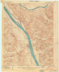
1938 · Birmingham
USGS Topo · 1:24,000
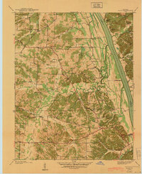
1940 · Hiatt
USGS Topo · 1:24,000

1942 · Hico
USGS Topo · 1:24,000

1950 · Rushing Creek
USGS Topo · 1:24,000