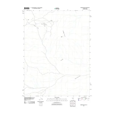
2011 Map of Ferber Peak
USGS Topo · Published 2011About this map
Mining operations along the northern reaches of the Ferber Hills define this arid landscape on the border of Utah and Nevada. Early 21st-century geological data reveals a concentration of industrial activity concentrated near the high ground, with the Regent Mine and Knowlton Mine positioned along the drainage of Ferber Wash. Further south, a cluster of claims including the Big Chief Mine, Red Cloud Mine, Martha Washington Mine, and Ajax Mine suggests a localized history of mineral extraction. The terrain transitions from these jagged heights into broad, open expanses, specifically Ferber Flat to the northwest and White Sage Flat to the southeast. These wide basins are connected by narrow corridors like Box Canyon, illustrating the typical basin and range topography where water movement is seasonal and directed toward the alluvial flats.
Find a feature on this map
12 named features on this map. Tap any name to fly to it.
Don’t see what you’re looking for? This feature index may not catch every label — zoom into the map to look around manually.
Map Details
Editions of this 2011 Ferber Peak Map
This is the sole edition of this map. No revisions or reprints were ever made.
Other maps of this area

1925 · Gold Hill
USGS Topo · 1:62,500

1928 · Gold Hill
USGS Topo · 1:62,500

1953 · Tooele
USGS Topo · 1:250,000

1955 · Tooele
USGS Topo · 1:250,000

1955 · Elko
USGS Topo · 1:250,000

1958 · Elko
USGS Topo · 1:250,000

1962 · Elko
USGS Topo · 1:250,000

1965 · Elko
USGS Topo · 1:250,000

1972 · White Horse Pass
USGS Topo · 1:24,000

1972 · Utah Peak
USGS Topo · 1:24,000