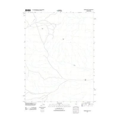
2012 Map of Ferber Peak
USGS Topo · Published 2012About this map
Ferber Peak stands as the central topographic focal point of this high-desert landscape on the border of Utah and Nevada. The surrounding terrain is characterized by broad alluvial fans and drainage networks, most notably Ferber Wash which cuts across the northwestern portion of the map. The spatial relationship between the highland peaks and the lower-lying basins is clearly defined by the expansive Ferber Flat to the north and White Sage Flat in the southeast. A network of unimproved roads and 4WD tracks, documented by the U.S. Geological Survey using 2009-2010 imagery, navigates the base of the mountains and leads toward secluded geological features like Box Canyon. This modern digital survey provides a precise look at the arid landscape's drainage patterns and transportation routes in Tooele County during the early 21st century.
Find a feature on this map
5 named features on this map. Tap any name to fly to it.
Don’t see what you’re looking for? This feature index may not catch every label — zoom into the map to look around manually.
Map Details
Editions of this 2012 Ferber Peak Map
This is the sole edition of this map. No revisions or reprints were ever made.
Other maps of this area

1925 · Gold Hill
USGS Topo · 1:62,500

1928 · Gold Hill
USGS Topo · 1:62,500

1953 · Tooele
USGS Topo · 1:250,000

1955 · Tooele
USGS Topo · 1:250,000

1955 · Elko
USGS Topo · 1:250,000

1958 · Elko
USGS Topo · 1:250,000

1962 · Elko
USGS Topo · 1:250,000

1965 · Elko
USGS Topo · 1:250,000

1972 · White Horse Pass
USGS Topo · 1:24,000

1972 · Utah Peak
USGS Topo · 1:24,000