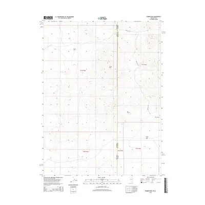
2014 Map of Ferber Peak
USGS Topo · Published 2014About this map
Ferber Peak dominates this high-desert landscape on the border of Nevada and Utah, serving as the central landmark for a region defined by arid flats and deep drainages. The Nevada Utah state line bisects the territory, which also marks the divide between Elko Co and Tooele Co. A sparse network of unpaved tracks, including Ferber Well Rd and Ferber Hills Rd, provides the only access through the basin-and-range terrain. The mapping reveals the distinct topography of Ferber Flat and White Sage Flat, separated by the rising slopes of the Ferber Hills. To the south, the deep indentation of Box Canyon and its associated Box Canyon Rd suggest a landscape shaped by seasonal water movement, as further evidenced by the trace of Ferber Wash in the northwest.
Find a feature on this map
16 named features on this map. Tap any name to fly to it.
Don’t see what you’re looking for? This feature index may not catch every label — zoom into the map to look around manually.
Map Details
Editions of this 2014 Ferber Peak Map
This is the sole edition of this map. No revisions or reprints were ever made.
Other maps of this area

1925 · Gold Hill
USGS Topo · 1:62,500

1928 · Gold Hill
USGS Topo · 1:62,500

1953 · Tooele
USGS Topo · 1:250,000

1955 · Tooele
USGS Topo · 1:250,000

1955 · Elko
USGS Topo · 1:250,000

1958 · Elko
USGS Topo · 1:250,000

1962 · Elko
USGS Topo · 1:250,000

1965 · Elko
USGS Topo · 1:250,000

1972 · White Horse Pass
USGS Topo · 1:24,000

1972 · Utah Peak
USGS Topo · 1:24,000