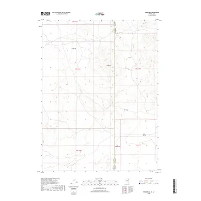
2018 Map of Ferber Peak
USGS Topo · Published 2018About this map
Ferber Peak stands as the central landmark in this high-desert landscape, straddling the interstate boundary between Elko County, Nevada, and Tooele County, Utah. This survey captures a region defined by arid basins and drainage systems, where the ephemeral Ferber Wash cuts through the broad expanse of Ferber Flat. The topographic detail illustrates the complex drainage patterns of the Great Basin, transitioning from the higher elevations of the peak into the sunken profile of Box Canyon to the southeast. To the south, the terrain levels out into the wide reaches of White Sage Flat, a characteristic desert valley floor. The map serves as a precise record of the Public Land Survey System (PLSS) grid, documenting the intersection of multiple township and range lines across state borders in this sparsely settled frontier territory.
Find a feature on this map
13 named features on this map. Tap any name to fly to it.
Don’t see what you’re looking for? This feature index may not catch every label — zoom into the map to look around manually.
Map Details
Editions of this 2018 Ferber Peak Map
This is the sole edition of this map. No revisions or reprints were ever made.
Other maps of this area

1925 · Gold Hill
USGS Topo · 1:62,500

1928 · Gold Hill
USGS Topo · 1:62,500

1953 · Tooele
USGS Topo · 1:250,000

1955 · Tooele
USGS Topo · 1:250,000

1955 · Elko
USGS Topo · 1:250,000

1958 · Elko
USGS Topo · 1:250,000

1962 · Elko
USGS Topo · 1:250,000

1965 · Elko
USGS Topo · 1:250,000

1972 · White Horse Pass
USGS Topo · 1:24,000

1972 · Utah Peak
USGS Topo · 1:24,000