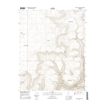
2014 Map of Fern Glen Canyon
USGS Topo · Published 2014About this map
The Colorado River carves through the heart of the Grand Canyon National Park on this 2014 survey, marking the boundary between Mohave and Coconino counties. The map highlights a series of formidable river features, including the Hundred and Sixty-four Mile Rapids and Glen Rapids. These watercourses are flanked by a complex system of side canyons such as Fern Glen Canyon, National Canyon, and Tuckup Canyon, which feed into the main river channel from the surrounding high plateaus.
Find a feature on this map
30 named features on this map. Tap any name to fly to it.
Don’t see what you’re looking for? This feature index may not catch every label — zoom into the map to look around manually.
Map Details
Editions of this 2014 Fern Glen Canyon Map
This is the sole edition of this map. No revisions or reprints were ever made.
Other maps of this area

1886 · Mt. Trumbull
USGS Topo · 1:250,000

1886 · Kaibab
USGS Topo · 1:250,000

1892 · Mt. Trumbull
USGS Topo · 1:250,000

1953 · Grand Canyon
USGS Topo · 1:250,000

1957 · Grand Canyon
USGS Topo · 1:250,000

1958 · Grand Canyon
USGS Topo · 1:250,000

1960 · Grand Canyon
USGS Topo · 1:250,000

1962 · Tuckup Canyon
USGS Topo · 1:62,500

1962 · National Canyon
USGS Topo · 1:62,500
1967 · Mt. Trumbull NE
USGS Topo · 1:24,000