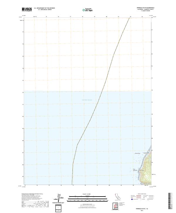
2021 Map of Ferndale OE W
USGS Topo · Published 2021About this map
False Cape and its surrounding coastal hazards define this stretch of the Humboldt County coastline. This 2021 survey focuses on the maritime boundary where the Pacific Ocean meets a steep, undeveloped shoreline marked by significant rocky outcrops like Mussel Rock and Elephant Rock. The map illustrates the intersection of public land survey sections, specifically t2n r3w and t1n r3w, along a topography cut by narrow drainages including Oil Cr and the aptly named Flyblow Gulch. This specific location represents a largely roadless portion of the California coast, providing a modern perspective on a landscape that remains dominated by natural features and maritime landmarks like False Cape Rock rather than human settlement.
Find a feature on this map
9 named features on this map. Tap any name to fly to it.
Don’t see what you’re looking for? This feature index may not catch every label — zoom into the map to look around manually.
Map Details
Editions of this 2021 Ferndale OE W Map
This is the sole edition of this map. No revisions or reprints were ever made.
Other maps of this area

1916 · Cape Fortunas
USGS Topo · 1:62,500

1921 · Cape Mendocino
USGS Topo · 1:62,500

1943 · Ferndale
USGS Topo · 1:62,500

1949 · Eureka
USGS Topo · 1:250,000

1950 · Cape Mendocino
USGS Topo · 1:62,500

1951 · Cape Mendocino
USGS Topo · 1:62,500

1951 · Ferndale
USGS Topo · 1:62,500

1958 · Eureka
USGS Topo · 1:250,000
1958 · Eureka
USGS Topo · 1:250,000
1959 · Cannibal Island
USGS Topo · 1:24,000