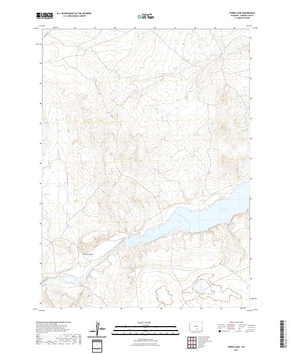
2021 Map of Ferris Lake
USGS Topo · Published 2021About this map
Seminoe Reservoir dominates the lower-central portion of this Wyoming landscape, where the North Platte River flows through the high desert terrain. The area is characterized by significant hydrological features including the seasonal watercourse of Dry Ditch and the aptly named Dirty-man Draw. Evidence of the region's management and infrastructure is seen in Seminoe Rd, which provides access to the reservoir's north shore, and the presence of Ferris Lake nestled in the southeastern corner. The map reflects the vast open spaces of Carbon County, documenting the specific township and range lines that govern the land division across this segment of the Platte River drainage system.
Find a feature on this map
10 named features on this map. Tap any name to fly to it.
Don’t see what you’re looking for? This feature index may not catch every label — zoom into the map to look around manually.
Map Details
Editions of this 2021 Ferris Lake Map
This is the sole edition of this map. No revisions or reprints were ever made.
Other maps of this area

1893 · Fort Steele
USGS Topo · 1:125,000

1914 · Walcott
USGS Topo · 1:62,500

1953 · Wild Horse Mountain
USGS Topo · 1:24,000

1953 · Sinclair
USGS Topo · 1:24,000

1953 · Seminoe Dam SW
USGS Topo · 1:24,000

1953 · Seminoe Dam SE
USGS Topo · 1:24,000

1953 · Lone Haystack Mountain
USGS Topo · 1:24,000

1954 · Rawlins
USGS Topo · 1:250,000

1955 · Casper
USGS Topo · 1:250,000

1958 · Rawlins
USGS Topo · 1:250,000