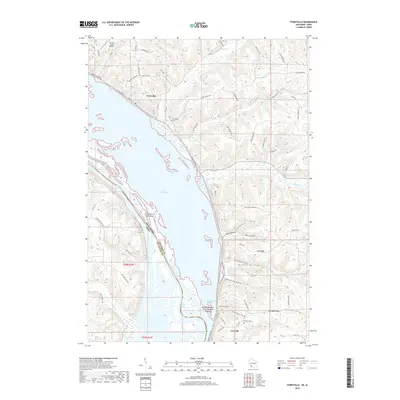
2018 Map of Ferryville
USGS Topo · Published 2018About this map
The riverfront villages of Ferryville and Lynxville anchor this 2018 study of the Upper Mississippi River valley, where the water is divided into complex channels and backwaters like Lake Winneshiek and Capoli Slough. The landscape transitions sharply from the alluvial lowlands to the high bluffs of Crawford County, defined by family-named landmarks and ridge-top settlements. Notable genealogical sites include Ferryville Cem and the Dickson Cem near Mt Hope Ridge.
Find a feature on this map
68 named features on this map. Tap any name to fly to it.
Don’t see what you’re looking for? This feature index may not catch every label — zoom into the map to look around manually.
Map Details
Editions of this 2018 Ferryville Map
This is the sole edition of this map. No revisions or reprints were ever made.
Other maps of this area

1903 · Waukon
USGS Topo · 1:125,000

1924 · Gays Mills
USGS Topo · 1:62,500

1926 · Gays Mills
USGS Topo · 1:62,500

1926 · Wauzeka
USGS Topo · 1:62,500

1929 · Ferryville
USGS Topo · 1:62,500

1929 · Prairie Du Chien
USGS Topo · 1:62,500

1932 · Ferryville
USGS Topo · 1:62,500

1932 · Prairie Du Chien
USGS Topo · 1:62,500

1958 · La Crosse
USGS Topo · 1:250,000

1961 · La Crosse
USGS Topo · 1:250,000