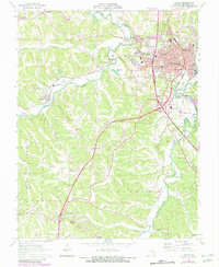
1964 Map of Festus
USGS Topo · Published 1982About this map
Festus and Crystal City serve as the primary anchors for this 1964 survey, capturing the twin cities during a period of mid-century growth along the Burlington Northern and Missouri Pacific railroads. The map reveals a high density of civic and religious institutions, ranging from Sacred Heart Church and Our Lady School to the County School for Retarded Children. The industrial character of the region is grounded by a quarry near Silica, while the residential expansion is evident in the development of Olympian Village to the south.
Find a feature on this map
55 named features on this map. Tap any name to fly to it.
Don’t see what you’re looking for? This feature index may not catch every label — zoom into the map to look around manually.
Map Details
Editions of this 1964 Festus Map
2 editions found
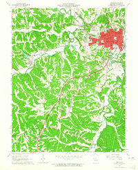
Other maps of this area

1901 · De Soto
USGS Topo · 1:125,000

1912 · Kimmswick
USGS Topo · 1:62,500

1915 · Crystal City
USGS Topo · 1:62,500

1916 · Kimmswick
USGS Topo · 1:62,500

1930 · De Soto NE
USGS Topo · 1:24,000

1930 · Pacific SE
USGS Topo · 1:24,000

1931 · De Soto SE
USGS Topo · 1:24,000

1948 · Kimmswick
USGS Topo · 1:62,500

1949 · Saint Louis
USGS Topo · 1:250,000

1949 · Crystal City
USGS Topo · 1:62,500