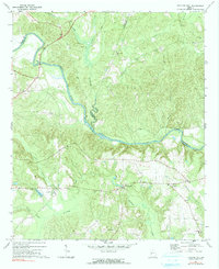
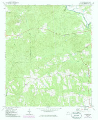
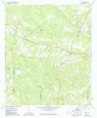
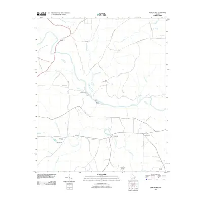
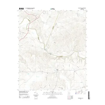
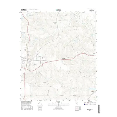
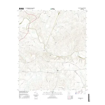
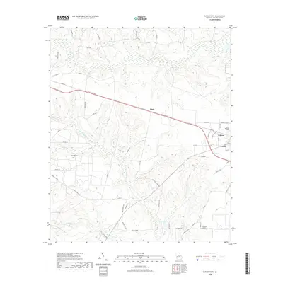
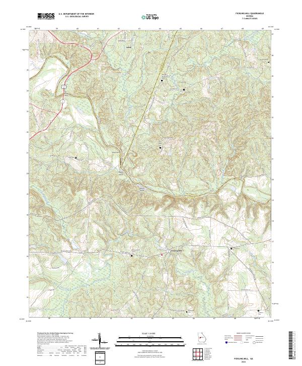
1971 Map of Fickling Mill
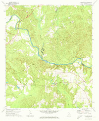
USGS Topo · Published 1991About this map
Fickling Mill and the surrounding riverlands of Middle Georgia are defined by the convergence of several major waterways in the early 1970s. The Flint River cuts a prominent path through the landscape, joined by extensive drainage systems including Auchumpkee Creek, Theolatchee Creek, and Patsiliga Creek. This topography created a fertile area for rural settlement, evidenced by the scattered network of country churches such as Damascus Ch, Midway Ch, and Crowells Ch.
Find a feature on this map
30 named features on this map. Tap any name to fly to it.
Don’t see what you’re looking for? This feature index may not catch every label — zoom into the map to look around manually.
Map Details
Editions of this 1971 Fickling Mill Map
2 editions found
Historical Maps of Fickling Mill Through Time
36 maps found
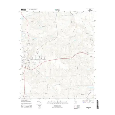
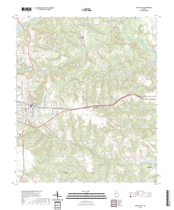
1971 Butler East
Taylor County, GA

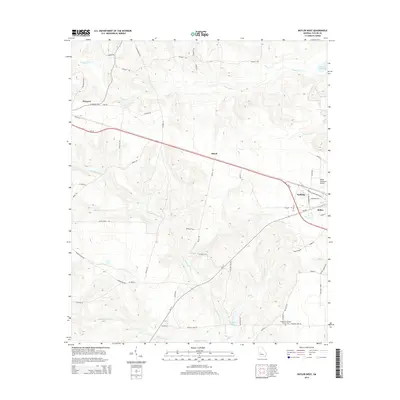
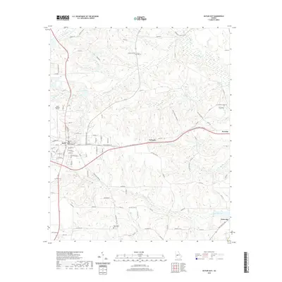
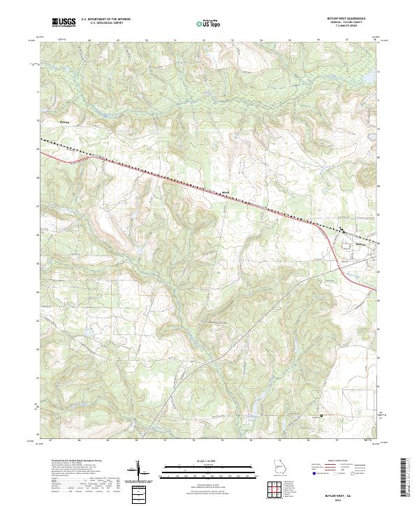
1971 Butler West
Taylor County, GA
1971 Fickling Mill
Taylor County, GA
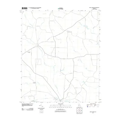
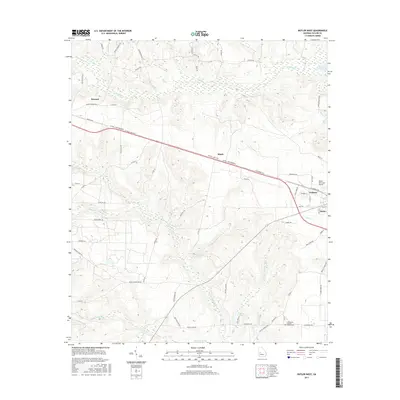
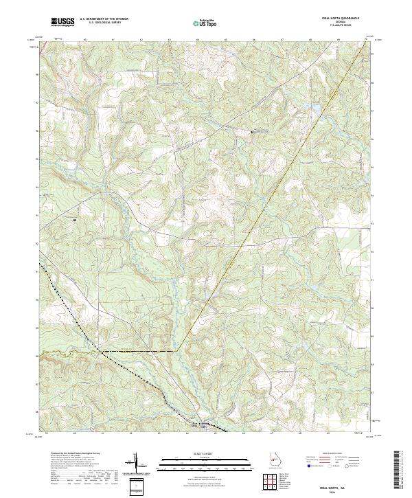
1971 Ideal North
Taylor County, GA
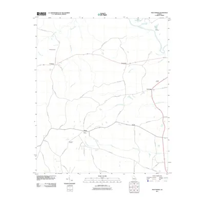
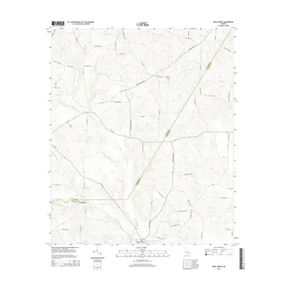
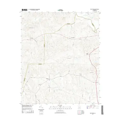
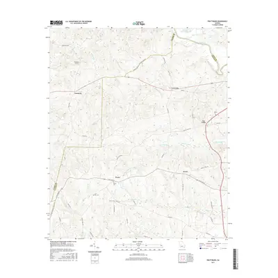
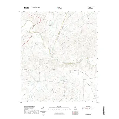
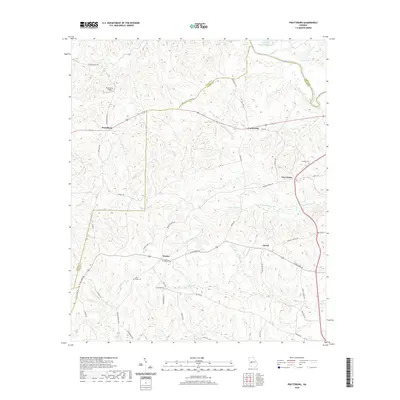
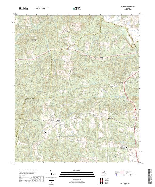
1971 Prattsburg
Taylor County, GA
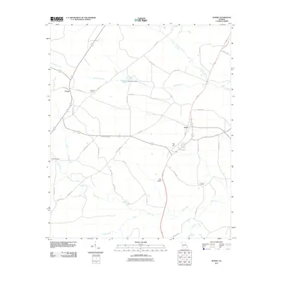
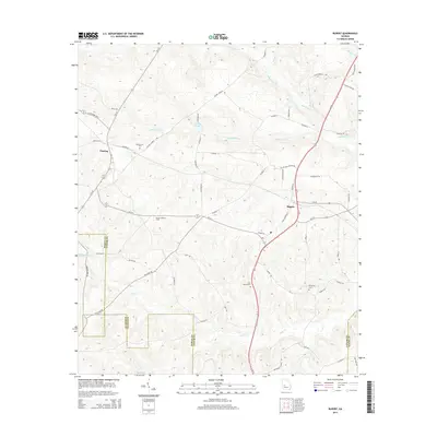
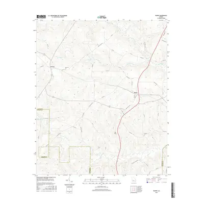
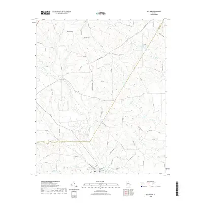
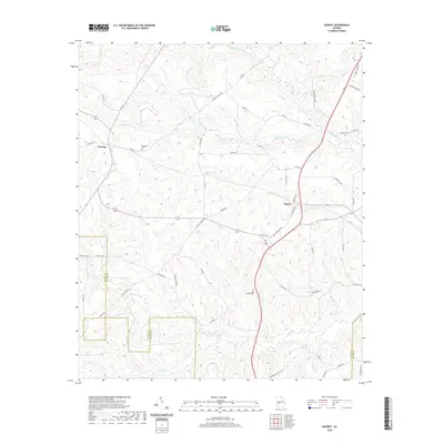
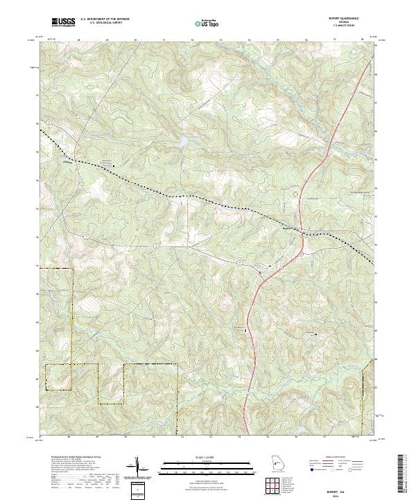
1971 Rupert
Taylor County, GA
2011 Butler East
Taylor County, GA
2011 Butler West
Taylor County, GA
2011 Fickling Mill
Taylor County, GA
2011 Ideal North
Taylor County, GA
2011 Prattsburg
Taylor County, GA
2011 Rupert
Taylor County, GA
2014 Butler East
Taylor County, GA
2014 Butler West
Taylor County, GA
2014 Fickling Mill
Taylor County, GA
2014 Ideal North
Taylor County, GA
2014 Prattsburg
Taylor County, GA
2014 Rupert
Taylor County, GA
2017 Butler East
Taylor County, GA
2017 Butler West
Taylor County, GA
2017 Fickling Mill
Taylor County, GA

2017 Ideal North
Taylor County, GA
2017 Prattsburg
Taylor County, GA
2017 Rupert
Taylor County, GA
2020 Butler East
Taylor County, GA
2020 Butler West
Taylor County, GA
2020 Fickling Mill
Taylor County, GA
2020 Ideal North
Taylor County, GA
2020 Prattsburg
Taylor County, GA
2020 Rupert
Taylor County, GA
2024 Butler East
Taylor County, GA
2024 Butler West
Taylor County, GA
2024 Fickling Mill
Taylor County, GA
2024 Ideal North
Taylor County, GA
2024 Prattsburg
Taylor County, GA
2024 Rupert
Taylor County, GA