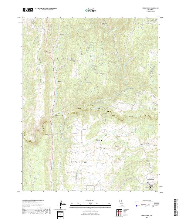
2021 Map of Fiddletown
USGS Topo · Published 2021About this map
The rugged boundary between El Dorado and Amador Counties is defined by the deep canyons of the Cosumnes River and its multiple forks. This area is characterized by a high concentration of small, historical settlements including Fiddletown, Shenandoah Valley, Enterprise, and Nashville, many of which developed alongside the region’s water-intensive industrial past. The complex hydrography, featuring the Middle Fork and South Fork, is augmented by man-made infrastructure like the Plymouth Ditch, which follows the contours of the landscape to move water across the ridgelines.
Find a feature on this map
83 named features on this map. Tap any name to fly to it.
Don’t see what you’re looking for? This feature index may not catch every label — zoom into the map to look around manually.
Map Details
Editions of this 2021 Fiddletown Map
This is the sole edition of this map. No revisions or reprints were ever made.
Other maps of this area

1889 · Jackson
USGS Topo · 1:125,000

1891 · Placerville
USGS Topo · 1:125,000

1892 · Jackson
USGS Topo · 1:125,000

1892 · Placerville
USGS Topo · 1:125,000

1893 · Placerville
USGS Topo · 1:125,000

1897 · Jackson
USGS Topo · 1:125,000

1902 · Jackson
USGS Topo · 1:125,000

1941 · Sutter Creek
USGS Topo · 1:62,500

1944 · Sutter Creek
USGS Topo · 1:62,500

1947 · Sacramento
USGS Topo · 1:250,000