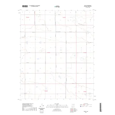
2023 Map of Field SE
USGS Topo · Published 2023About this map
Running Water Draw meanders across the high plains of Curry County in this contemporary topographic record. The landscape is defined by its vast agricultural grid, where a network of section-line roads such as Curry Road AF and Curry Road AE organize the terrain into distinct townships. Most of the surface water is concentrated in small, seasonal depressions, with Dead Horse Lake serving as a primary hydrological landmark in the southeastern portion of the quadrangle. The lack of major towns or dense industrial sites highlights the persistent rural character of this region, where land management and drainage patterns remain the primary features of interest. For those studying the evolution of local ranching or farming tracts, the precise survey lines and road designations like Curry Road 23 and Curry Road 17 clarify the modern geography of the eastern New Mexico plains.
Find a feature on this map
24 named features on this map. Tap any name to fly to it.
Don’t see what you’re looking for? This feature index may not catch every label — zoom into the map to look around manually.
Map Details
Editions of this 2023 Field SE Map
This is the sole edition of this map. No revisions or reprints were ever made.
Other maps of this area

1954 · Clovis
USGS Topo · 1:250,000

1957 · Portair
USGS Topo · 1:62,500

1957 · Melrose
USGS Topo · 1:62,500

1957 · Hammond Ranch
USGS Topo · 1:62,500

1958 · Clovis
USGS Topo · 1:250,000

1972 · Melrose East
USGS Topo · 1:24,000

1973 · Weber City
USGS Topo · 1:24,000

1973 · Field SE
USGS Topo · 1:24,000

1973 · Melrose West
USGS Topo · 1:24,000

1973 · Field SW
USGS Topo · 1:24,000