
1973 Map of Field SW
USGS Topo · Published 1976About this map
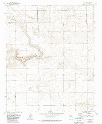
Alamosa Creek meanders through the arid landscape of eastern New Mexico, cutting a distinct path across a region where three counties converge. This 1970s survey captures the intersection of Quay, Roosevelt, and Curry counties, a geographic tri-point marked by sparse infrastructure and wide-open rangeland. Human presence is indicated by isolated agricultural markers such as a Silo and several Well sites, which were vital for sustaining livestock and settlement in this high-plains environment. In the southeastern corner of the quadrangle, Brooks Lake provides a rare concentrated water source amidst the topographic contours. The map reflects a period of established ranching boundaries, where fine red dashed lines delineate selected fence lines across the open territory.
Find a feature on this map
8 named features on this map. Tap any name to fly to it.
Don’t see what you’re looking for? This feature index may not catch every label — zoom into the map to look around manually.
Map Details
Editions of this 1973 Field SW Map
2 editions found
Other maps of this area

1954 · Clovis
USGS Topo · 1:250,000

1957 · Melrose
USGS Topo · 1:62,500

1958 · Clovis
USGS Topo · 1:250,000

1972 · Melrose East
USGS Topo · 1:24,000

1973 · Weber City
USGS Topo · 1:24,000

1973 · Krider
USGS Topo · 1:24,000

1973 · Field SE
USGS Topo · 1:24,000

1973 · Melrose West
USGS Topo · 1:24,000

1973 · Mc Alister
USGS Topo · 1:24,000
1973 · House SE
USGS Topo · 1:24,000