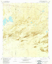
1982 Map of Fifteenmile Lake
USGS Topo · Published 1987About this map
White Sands dominates this 1982 orthophotomap, showing the stark intersection of the desert's natural hydraulics and military infrastructure. The landscape is defined by extensive tracts of shifting sand and the alkaline basins of Big Salt Lake and Fifteenmile Lake. These water bodies, along with Horseshoe Lake, suggest a dynamic environment where seasonal moisture and evaporation cycles govern the terrain. The inclusion of White Sands Missile Range boundaries across the lower half of the map highlights the area's mid-century transition from open ranching country to a restricted federal testing facility.
Find a feature on this map
15 named features on this map. Tap any name to fly to it.
Don’t see what you’re looking for? This feature index may not catch every label — zoom into the map to look around manually.
Map Details
Editions of this 1982 Fifteenmile Lake Map
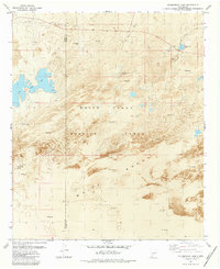
2 editions found
Other maps of this area

1916 · Tularosa
USGS Topo · 1:125,000

1916 · Point Of Sands
USGS Topo · 1:125,000

1947 · Point Of Sands 2
USGS Topo · 1:62,500

1948 · Lumley Lake
USGS Topo · 1:62,500

1948 · Tularosa
USGS Topo · 1:62,500

1948 · Holloman
USGS Topo · 1:62,500

1954 · Tularosa
USGS Topo · 1:250,000

1955 · Las Cruces
USGS Topo · 1:250,000

1958 · Las Cruces
USGS Topo · 1:250,000

1958 · Tularosa
USGS Topo · 1:250,000