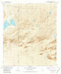
1982 Map of Fifteenmile Lake
USGS Topo · Published 1982About this map
The White Sands Missile Range dominates this orthophotomap, showing the stark intersection of military infrastructure and the dynamic Tularosa Basin landscape in the early 1980s. The map illustrates a unique environment defined by White Sands and extensive areas of Shifting Sand, where topography is constantly reshaped by wind. Water features like Big Salt Lake, Horseshoe Lake, and Fifteenmile Lake appear as ephemeral catchments in an arid basin otherwise drained by Three Rivers and Bitter Creek.
Find a feature on this map
13 named features on this map. Tap any name to fly to it.
Don’t see what you’re looking for? This feature index may not catch every label — zoom into the map to look around manually.
Map Details
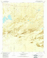
Editions of this 1982 Fifteenmile Lake Map
2 editions found
Other maps of this area

1916 · Tularosa
USGS Topo · 1:125,000

1916 · Point Of Sands
USGS Topo · 1:125,000

1947 · Point Of Sands 2
USGS Topo · 1:62,500

1948 · Lumley Lake
USGS Topo · 1:62,500

1948 · Tularosa
USGS Topo · 1:62,500

1948 · Holloman
USGS Topo · 1:62,500

1954 · Tularosa
USGS Topo · 1:250,000

1955 · Las Cruces
USGS Topo · 1:250,000

1958 · Las Cruces
USGS Topo · 1:250,000

1958 · Tularosa
USGS Topo · 1:250,000