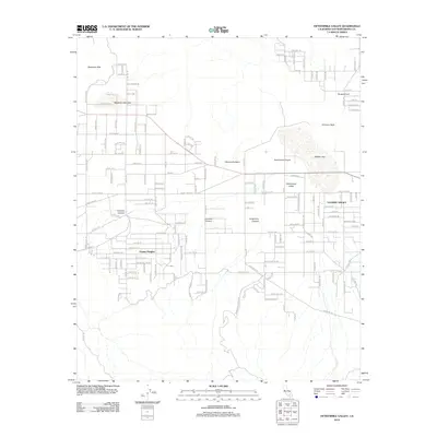
2012 Map of Fifteenmile Valley
USGS Topo · Published 2012About this map
Lucerne Valley occupies a high desert basin in San Bernardino County, defined by its expansive ephemeral water bodies and stark geological formations. The landscape is dominated by the broad basins of Rabbit Lake and Deadman Dry Lake, which serve as natural drainage points for the surrounding terrain. To the north, the Deadman Hills overlook a network of rural residential roads, while the prominent outcrop at Chimney Rock and the elevation of Fifteenmile Point frame the valley's eastern and central reaches.
Find a feature on this map
129 named features on this map. Tap any name to fly to it.
Don’t see what you’re looking for? This feature index may not catch every label — zoom into the map to look around manually.
Map Details
Editions of this 2012 Fifteenmile Valley Map
This is the sole edition of this map. No revisions or reprints were ever made.
Other maps of this area

1901 · Southern California Sheet No. 1
USGS Topo · 1:250,000

1902 · Deep Creek
USGS Topo · 1:62,500

1902 · San Gorgonio
USGS Topo · 1:125,000

1904 · Southern California Sheet No. 1
USGS Topo · 1:250,000

1932 · Barstow
USGS Topo · 1:125,000

1934 · Barstow
USGS Topo · 1:125,000

1947 · Lucerne Valley
USGS Topo · 1:62,500

1949 · Lucerne Valley
USGS Topo · 1:62,500

1953 · San Bernardino
USGS Topo · 1:250,000

1955 · Ord Mountains
USGS Topo · 1:62,500