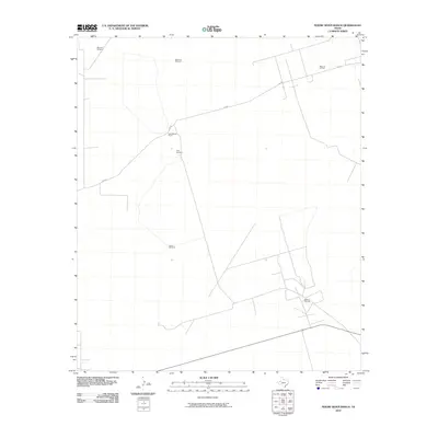
2010 Map of Figure Seven Ranch
USGS Topo · Published 2010About this map
Figure Seven Ranch serves as the central landmark for this portion of Andrews County, illustrating the intersection of traditional West Texas ranching and modern energy extraction. The landscape is defined by the infrastructure of the Permian Basin, specifically the extensive Block 12 Oil Field to the northeast and the Bedford Oil Field toward the southeast. These industrial zones are connected by a network of service roads, including SW 900.
Find a feature on this map
8 named features on this map. Tap any name to fly to it.
Don’t see what you’re looking for? This feature index may not catch every label — zoom into the map to look around manually.
Map Details
Editions of this 2010 Figure Seven Ranch Map
This is the sole edition of this map. No revisions or reprints were ever made.
Other maps of this area

1954 · Hobbs
USGS Topo · 1:250,000

1958 · Hobbs
USGS Topo · 1:250,000

1969 · Jal NE
USGS Topo · 1:24,000

1969 · Eunice SE
USGS Topo · 1:24,000

1969 · Jal SE
USGS Topo · 1:24,000

1971 · Figure Seven Ranch
USGS Topo · 1:24,000

1971 · Whalen Lake
USGS Topo · 1:24,000

1971 · Bedford Ranch
USGS Topo · 1:24,000

1971 · Frankel City SW
USGS Topo · 1:24,000

1971 · Sand Ranch
USGS Topo · 1:24,000