
1971 Map of Sand Ranch
USGS Topo · Published 1974About this map
Industrial development in the Permian Basin takes center stage on this survey of the High Plains north of Kermit. The landscape is defined by the extensive Three Bar Oil Field and the South Nix Oil Field to the northeast, where a dense network of pipelines and wells overlays the natural topography. Amidst this energy infrastructure, the survival of ranching life is visible through family-named landmarks like Sand Ranch and the Future Three Ranch.
Find a feature on this map
14 named features on this map. Tap any name to fly to it.
Don’t see what you’re looking for? This feature index may not catch every label — zoom into the map to look around manually.
Map Details
Editions of this 1971 Sand Ranch Map
This is the sole edition of this map. No revisions or reprints were ever made.
Other maps of this area

1954 · Hobbs
USGS Topo · 1:250,000

1958 · Hobbs
USGS Topo · 1:250,000

1968 · Coyote Corner
USGS Topo · 1:24,000

1968 · North Cowden NW
USGS Topo · 1:24,000

1971 · Figure Seven Ranch
USGS Topo · 1:24,000

1971 · Whalen Lake
USGS Topo · 1:24,000

1971 · Bedford Ranch
USGS Topo · 1:24,000

1971 · Frankel City SW
USGS Topo · 1:24,000
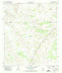
1971 · Y T Ranch
USGS Topo · 1:24,000
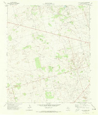
1971 · Lazy X Ranch
USGS Topo · 1:24,000