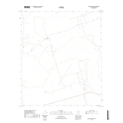
2019 Map of Figure Seven Ranch
USGS Topo · Published 2019About this map
Figure Seven Ranch serves as the primary landmark in this section of Andrews County, reflecting the enduring ranching character of the West Texas plains. The landscape is defined by its isolation and the practical network of roads required to navigate the vast terrain, including the prominent route 128 and county roads like SW 900 and SW 9201. This 2019 survey captures a contemporary view of the region's topography, where subtle elevation changes and local drainage patterns are essential for managing land in a semi-arid environment. The sparse distribution of named features emphasizes the scale of private landholdings and the specialized nature of high-plains agriculture and ranching in the 21st century.
Find a feature on this map
4 named features on this map. Tap any name to fly to it.
Don’t see what you’re looking for? This feature index may not catch every label — zoom into the map to look around manually.
Map Details
Editions of this 2019 Figure Seven Ranch Map
This is the sole edition of this map. No revisions or reprints were ever made.
Other maps of this area

1954 · Hobbs
USGS Topo · 1:250,000

1958 · Hobbs
USGS Topo · 1:250,000

1969 · Jal NE
USGS Topo · 1:24,000

1969 · Eunice SE
USGS Topo · 1:24,000

1969 · Jal SE
USGS Topo · 1:24,000

1971 · Figure Seven Ranch
USGS Topo · 1:24,000

1971 · Whalen Lake
USGS Topo · 1:24,000

1971 · Bedford Ranch
USGS Topo · 1:24,000

1971 · Frankel City SW
USGS Topo · 1:24,000

1971 · Sand Ranch
USGS Topo · 1:24,000