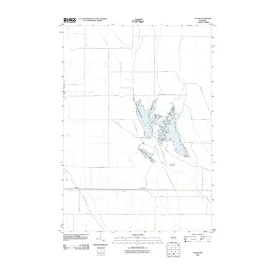
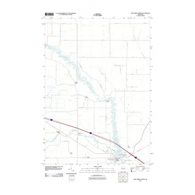
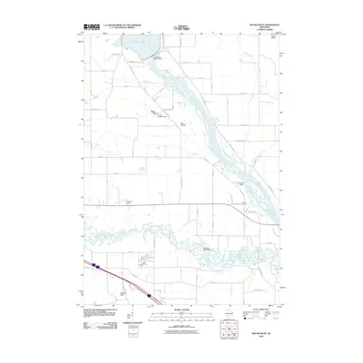
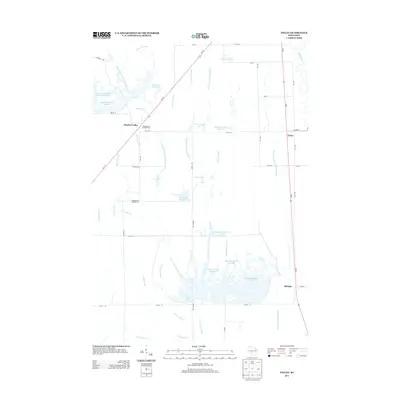
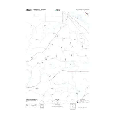
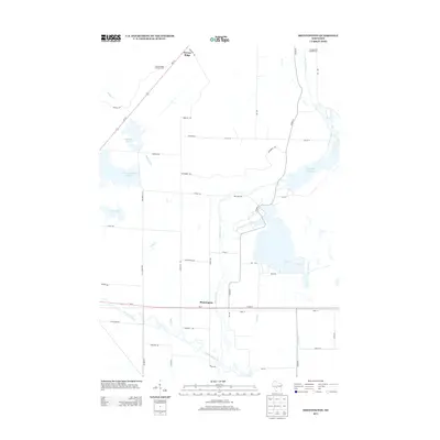
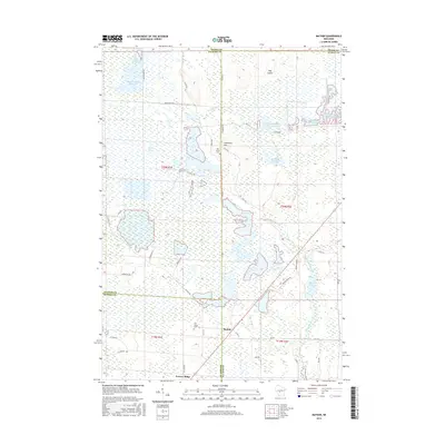
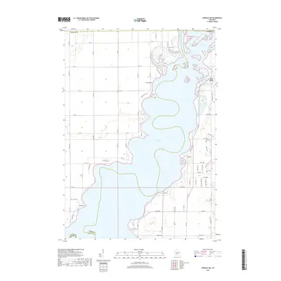
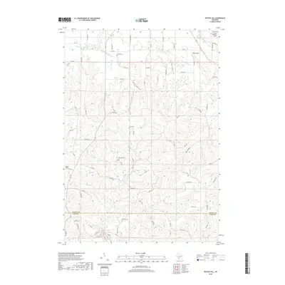
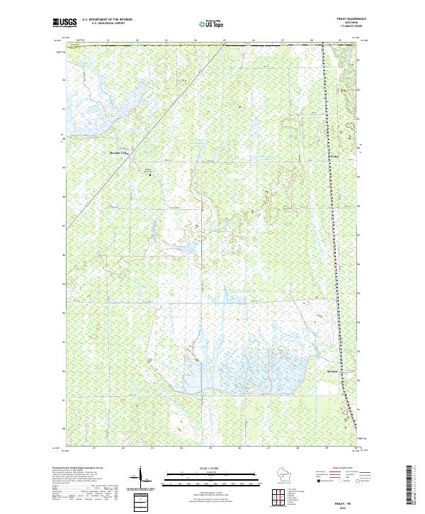
1969 Map of Finley
USGS Topo · Published 1971About this map
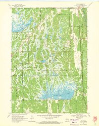
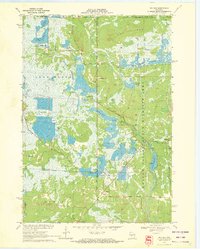
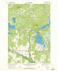
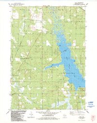
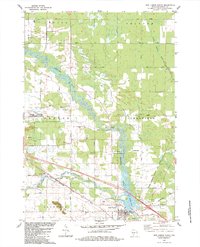
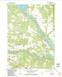
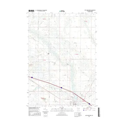
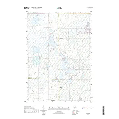
The Necedah National Wildlife Refuge dominates this central Wisconsin landscape, revealing a complex network of managed wetlands and flowages south of the Wood Co Juneau Co line. This 1960s environment is defined by extensive water management features, including the Meadow Valley Flowage and the large Sprague Mather Flowage. These reservoirs are interconnected by numerous lateral ditches and pools, such as Pool No 27 and Goose Pool, which sit alongside the meandering courses of the Yellow River and Little Yellow River.
Find a feature on this map
19 named features on this map. Tap any name to fly to it.
Don’t see what you’re looking for? This feature index may not catch every label — zoom into the map to look around manually.
Map Details
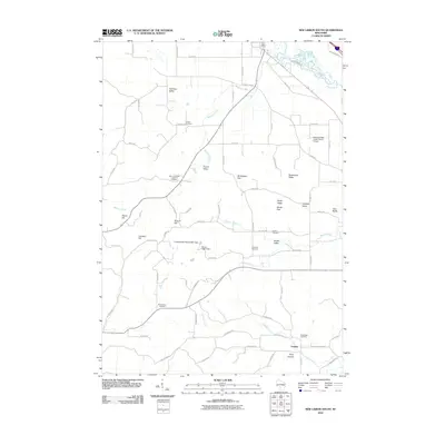
Editions of this 1969 Finley Map
This is the sole edition of this map. No revisions or reprints were ever made.
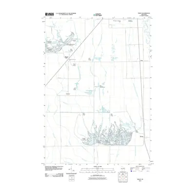
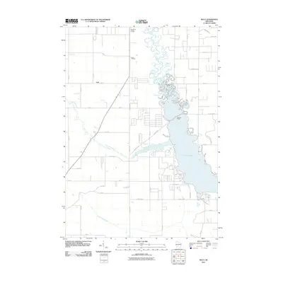
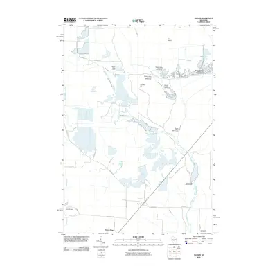
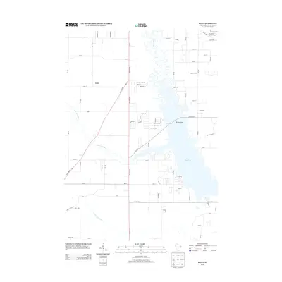
Historical Maps of Finley Through Time
66 maps found
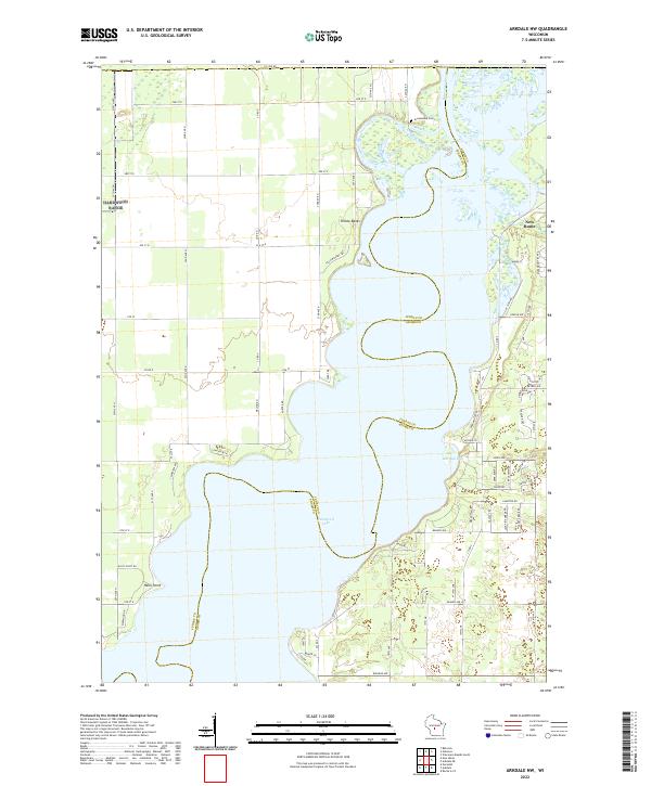
1969 Arkdale NW
Juneau County, WI
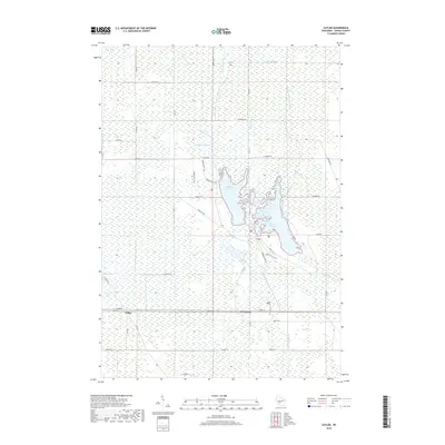
1969 Cutler
Juneau County, WI
1969 Finley
Juneau County, WI
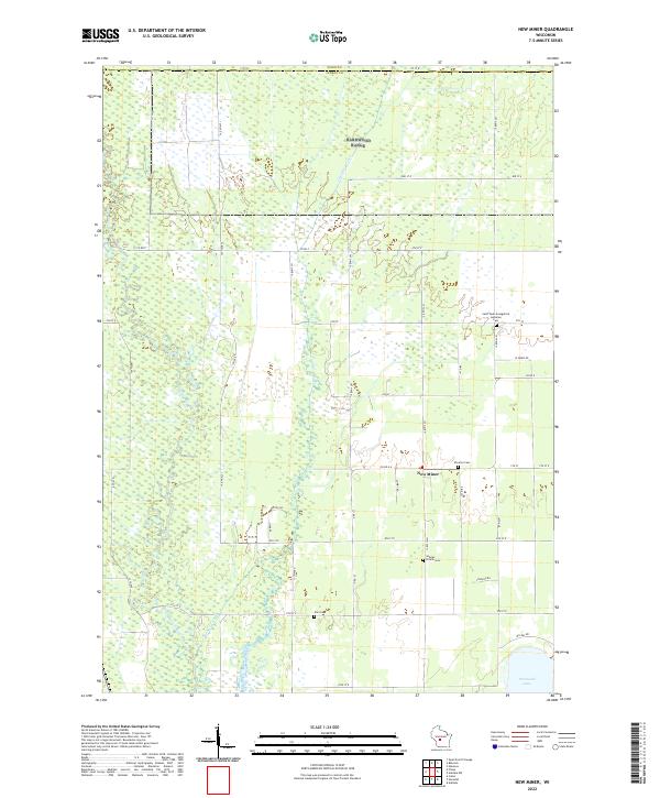
1969 New Miner
Juneau County, WI
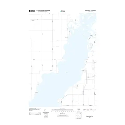
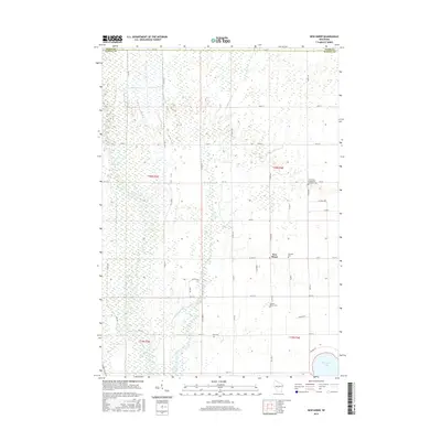
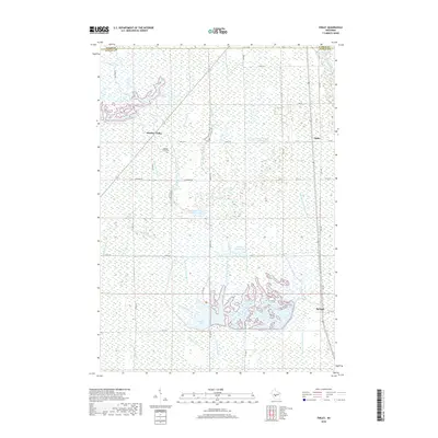
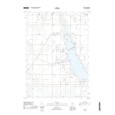
1970 Mather
Juneau County, WI
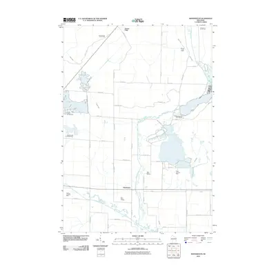
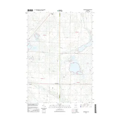
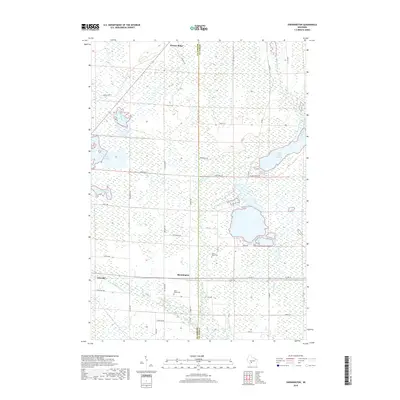
1970 Shennington
Juneau County, WI
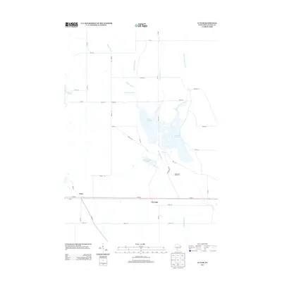
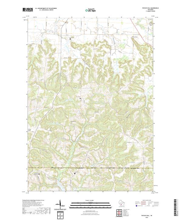
1975 Potato Hill
Juneau County, WI
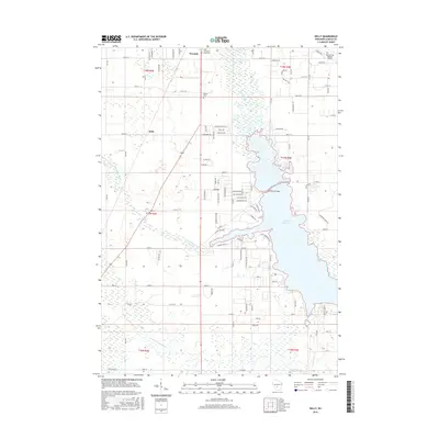
1983 Kelly
Juneau County, WI
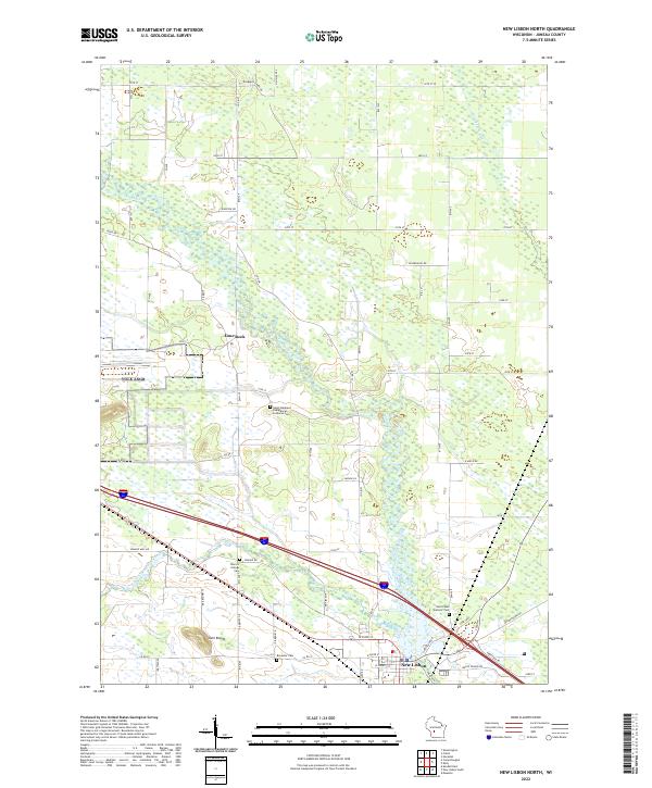
1983 New Lisbon North
Juneau County, WI
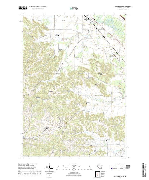
1983 New Lisbon South
Juneau County, WI
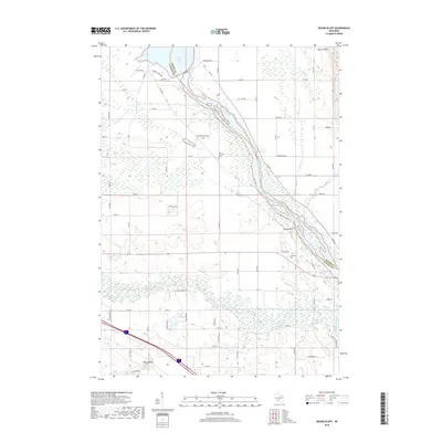
1983 Round Bluff
Juneau County, WI
2010 Arkdale NW
Juneau County, WI
2010 Cutler
Juneau County, WI
2010 Finley
Juneau County, WI
2010 Kelly
Juneau County, WI
2010 Mather
Juneau County, WI
2010 New Lisbon North
Juneau County, WI
2010 New Lisbon South
Juneau County, WI
2010 New Miner
Juneau County, WI
2010 Potato Hill
Juneau County, WI
2010 Round Bluff
Juneau County, WI
2010 Shennington
Juneau County, WI
2013 Arkdale NW
Juneau County, WI
2013 Cutler
Juneau County, WI
2013 Finley
Juneau County, WI
2013 Kelly
Juneau County, WI
2013 Mather
Juneau County, WI
2013 New Lisbon North
Juneau County, WI
2013 New Lisbon South
Juneau County, WI
2013 New Miner
Juneau County, WI
2013 Potato Hill
Juneau County, WI
2013 Round Bluff
Juneau County, WI
2013 Shennington
Juneau County, WI
2015 Arkdale NW
Juneau County, WI
2015 Cutler
Juneau County, WI
2015 Finley
Juneau County, WI
2015 Mather
Juneau County, WI
2015 New Miner
Juneau County, WI
2015 Shennington
Juneau County, WI
2016 Kelly
Juneau County, WI
2016 New Lisbon North
Juneau County, WI
2016 New Lisbon South
Juneau County, WI
2016 Potato Hill
Juneau County, WI
2016 Round Bluff
Juneau County, WI
2018 Arkdale NW
Juneau County, WI
2018 Cutler
Juneau County, WI
2018 Finley
Juneau County, WI
2018 Kelly
Juneau County, WI
2018 Mather
Juneau County, WI
2018 New Lisbon North
Juneau County, WI
2018 New Lisbon South
Juneau County, WI
2018 New Miner
Juneau County, WI
2018 Potato Hill
Juneau County, WI
2018 Round Bluff
Juneau County, WI
2018 Shennington
Juneau County, WI
2022 Arkdale NW
Juneau County, WI
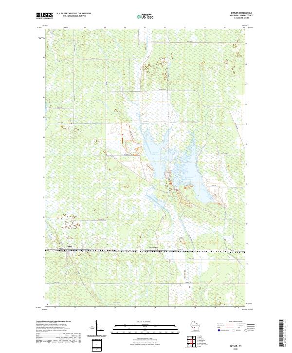
2022 Cutler
Juneau County, WI
2022 Finley
Juneau County, WI
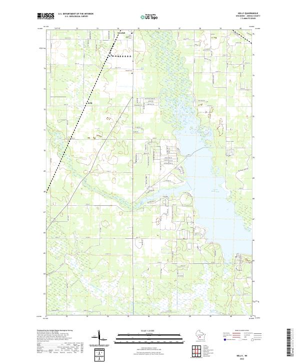
2022 Kelly
Juneau County, WI
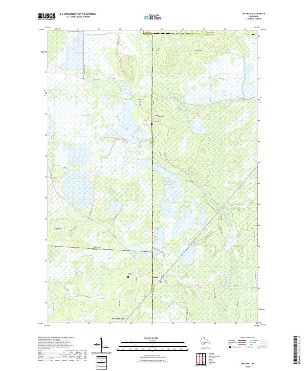
2022 Mather
Juneau County, WI
2022 New Lisbon North
Juneau County, WI
2022 New Lisbon South
Juneau County, WI
2022 New Miner
Juneau County, WI
2022 Potato Hill
Juneau County, WI
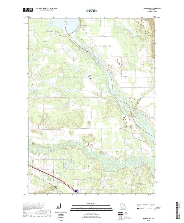
2022 Round Bluff
Juneau County, WI
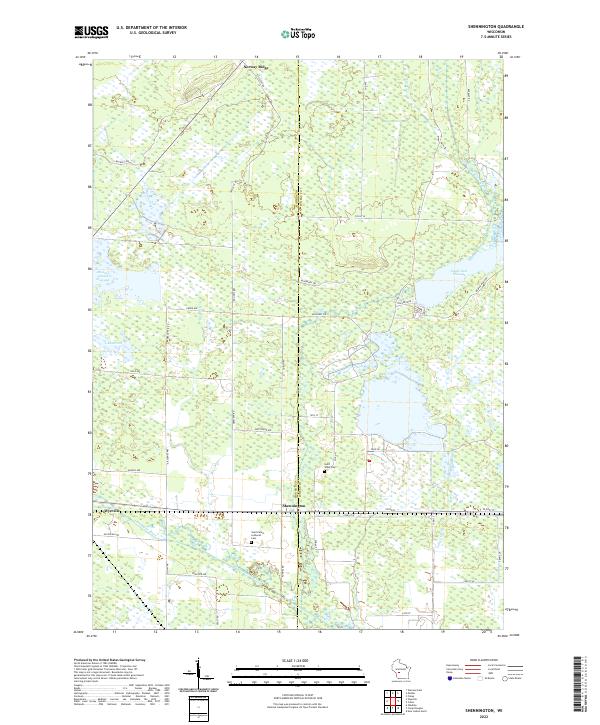
2022 Shennington
Juneau County, WI