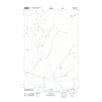
2011 Map of Finn
USGS Topo · Published 2011About this map
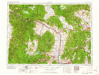
Finn and Keiley sit at the southern edge of this Powell County landscape, where the Nevada Creek drainage meets the foothills of the Garnet Range. This 2011 survey reveals a territory defined by historic resource extraction and ranching, evidenced by the numerous mining claims scattered through the gulches. Notable operations like the Wiggins Mine and Washington Creek Mine are documented alongside specialized infrastructure such as the Kelley Ranch Strip and the Mannix Dam on the upper reaches of Jefferson Creek.
Find a feature on this map
30 named features on this map. Tap any name to fly to it.
Don’t see what you’re looking for? This feature index may not catch every label — zoom into the map to look around manually.
Map Details
Editions of this 2011 Finn Map
This is the sole edition of this map. No revisions or reprints were ever made.
Other maps of this area
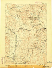
1889 · Helena
USGS Topo · 1:250,000
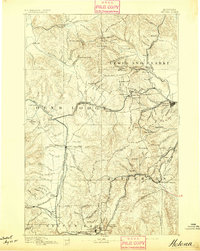
1893 · Helena
USGS Topo · 1:250,000
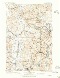
1899 · Helena
USGS Topo · 1:250,000
1903 · Helena
USGS Topo · 1:250,000

1947 · Butte
USGS Topo · 1:250,000

1958 · Butte
USGS Topo · 1:250,000
1958 · Avon
USGS Topo · 1:62,500
1958 · Garrison
USGS Topo · 1:62,500
1960 · Butte
USGS Topo · 1:250,000
1962 · Butte
USGS Topo · 1:250,000