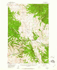
1958 Map of Avon
USGS Topo · Published 1960About this map
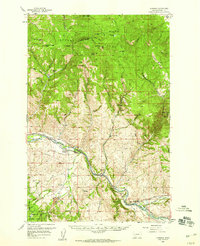
The Northern Pacific railroad and the Little Blackfoot River define the narrow valley corridor through this portion of the Helena National Forest. At the center of the sheet, the small settlement of Avon serves as a junction for local travel, while further east, the label for Blackfoot City (Ghost Town) preserves the memory of earlier mining activity near the Continental Divide.
Find a feature on this map
45 named features on this map. Tap any name to fly to it.
Don’t see what you’re looking for? This feature index may not catch every label — zoom into the map to look around manually.
Map Details
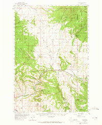
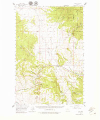
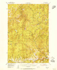
Editions of this 1958 Avon Map
4 editions found

Other maps of this area

1889 · Helena
USGS Topo · 1:250,000

1893 · Helena
USGS Topo · 1:250,000

1899 · Boulder
USGS Topo · 1:125,000

1899 · Helena
USGS Topo · 1:250,000

1903 · Helena
USGS Topo · 1:250,000

1947 · Butte
USGS Topo · 1:250,000
1954 · Basin
USGS Topo · 1:62,500

1958 · Butte
USGS Topo · 1:250,000
1958 · Garrison
USGS Topo · 1:62,500

1959 · Deer Lodge
USGS Topo · 1:62,500