
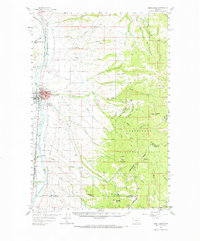
1959 Map of Deer Lodge
USGS Topo · Published 1961About this map
The Clark Fork valley serves as a bustling corridor for transportation and civic life in the late 1950s, anchored by the city of Deer Lodge. This regional hub is marked by the State Prison, the High Sch, and the County Fairground, while the local economy is reflected in the Gravel Pit and Kilns on the outskirts. Parallel rail lines, the Northern Pacific and the Chicago Milwaukee St Paul and Pacific, track the river's course, illustrating the importance of rail transit to the valley's development.
Find a feature on this map
69 named features on this map. Tap any name to fly to it.
Don’t see what you’re looking for? This feature index may not catch every label — zoom into the map to look around manually.
Map Details
Editions of this 1959 Deer Lodge Map
2 editions found
Other maps of this area

1889 · Helena
USGS Topo · 1:250,000

1893 · Helena
USGS Topo · 1:250,000

1899 · Boulder
USGS Topo · 1:125,000

1899 · Helena
USGS Topo · 1:250,000

1903 · Helena
USGS Topo · 1:250,000

1947 · Butte
USGS Topo · 1:250,000

1954 · Elk Park
USGS Topo · 1:62,500

1954 · Basin
USGS Topo · 1:62,500

1958 · Butte
USGS Topo · 1:250,000

1958 · Avon
USGS Topo · 1:62,500