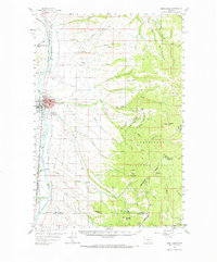
1959 Map of Deer Lodge
USGS Topo · Published 1966About this map
Deer Lodge serves as the focal point of this mid-century landscape, characterized by its position along the Clark Fork and the dual presence of the Northern Pacific and Chicago Milwaukee St Paul and Pacific railroads. The town's institutional infrastructure is clearly marked, including the State Prison, County Fairground, and educational centers like the High Sch and Jr High Sch.
Find a feature on this map
78 named features on this map. Tap any name to fly to it.
Don’t see what you’re looking for? This feature index may not catch every label — zoom into the map to look around manually.
Map Details
Editions of this 1959 Deer Lodge Map
2 editions found

Other maps of this area

1889 · Helena
USGS Topo · 1:250,000

1893 · Helena
USGS Topo · 1:250,000

1899 · Boulder
USGS Topo · 1:125,000

1899 · Helena
USGS Topo · 1:250,000

1903 · Helena
USGS Topo · 1:250,000

1947 · Butte
USGS Topo · 1:250,000

1954 · Elk Park
USGS Topo · 1:62,500

1954 · Basin
USGS Topo · 1:62,500

1958 · Butte
USGS Topo · 1:250,000

1958 · Avon
USGS Topo · 1:62,500