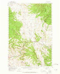
1958 Map of Avon
USGS Topo · Published 1965About this map
The Little Blackfoot River carves a critical path through this mid-century landscape, serving as the corridor for the Northern Pacific railroad and the primary settlement at Avon. To the northeast, the mountains of the Helena National Forest rise toward the Continental Divide, revealing a history of extraction with the Blackfoot City (Ghost Town) and various Placer Mines along Ophir Creek. This area illustrates the transition from high-mountain mining to valley ranching, evidenced by the Shearing Plant situated along the river west of Spotted Dog Creek. Prospectors and historians can trace the distribution of numerous workings, from the Gimlet Mine and Luke Mine on the slopes of Luke Mountain to the Victory Mine near the county line. The map captures a rugged topography defined by deep drainages like Homestead Gulch and Deep Gulch, marking the intersection of resource industry and the transport networks of the Montana interior.
Find a feature on this map
51 named features on this map. Tap any name to fly to it.
Don’t see what you’re looking for? This feature index may not catch every label — zoom into the map to look around manually.
Map Details
Editions of this 1958 Avon Map
4 editions found
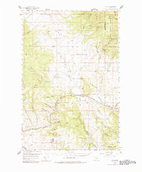
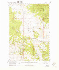
Other maps of this area

1889 · Helena
USGS Topo · 1:250,000

1893 · Helena
USGS Topo · 1:250,000

1899 · Boulder
USGS Topo · 1:125,000

1899 · Helena
USGS Topo · 1:250,000

1903 · Helena
USGS Topo · 1:250,000

1947 · Butte
USGS Topo · 1:250,000

1954 · Basin
USGS Topo · 1:62,500

1958 · Butte
USGS Topo · 1:250,000

1958 · Avon
USGS Topo · 1:62,500

1958 · Garrison
USGS Topo · 1:62,500