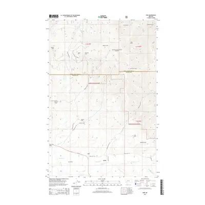
2014 Map of Finn
USGS Topo · Published 2014About this map
The mountain-and-valley landscape of central Montana is defined here by the drainage systems of Nevada Cr and Washington Cr. In the southern half of the map, the small settlements of Finn and Keiley sit along Nevada Creek Rd, while the broader Avon Valley stretches toward the southwest. This area serves as a transitional zone between the valley floor ranchlands and the high timber of the Helena National Forest to the north.
Find a feature on this map
37 named features on this map. Tap any name to fly to it.
Don’t see what you’re looking for? This feature index may not catch every label — zoom into the map to look around manually.
Map Details
Editions of this 2014 Finn Map
This is the sole edition of this map. No revisions or reprints were ever made.
Other maps of this area

1889 · Helena
USGS Topo · 1:250,000

1893 · Helena
USGS Topo · 1:250,000

1899 · Helena
USGS Topo · 1:250,000

1903 · Helena
USGS Topo · 1:250,000

1947 · Butte
USGS Topo · 1:250,000

1958 · Butte
USGS Topo · 1:250,000

1958 · Avon
USGS Topo · 1:62,500

1958 · Garrison
USGS Topo · 1:62,500

1960 · Butte
USGS Topo · 1:250,000

1962 · Butte
USGS Topo · 1:250,000