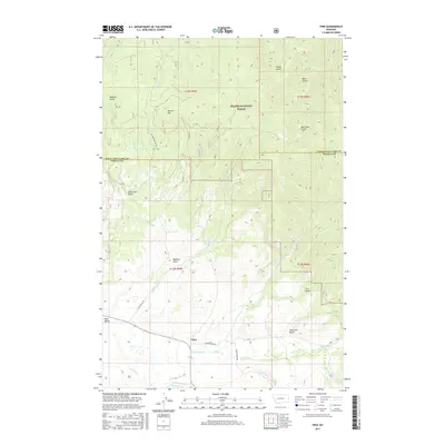
2017 Map of Finn
USGS Topo · Published 2017About this map
Finn sits at the confluence of the high country and the valley floor in Powell County, where the southern boundary of the Helena National Forest meets private ranchlands. The landscape is defined by an intricate network of drainage systems, including Nevada Creek and Washington Creek, which flow through the lower elevations near Avon Valley. High-elevation landmarks such as Dalton Mountain overlook the various gulches that historically drew prospectors and settlers to the region. Many of these drainages, including California Gulch, McClellan Gulch, and American Gulch, reflect the rugged geography that shaped local land use. Modern access via Dalton Mtn Rd and Home Range Rd follows the same natural corridors used for generations to navigate this section of the Montana Rockies, bridging the gap between the Lewis and Clark County line and the timbered slopes to the north.
Find a feature on this map
29 named features on this map. Tap any name to fly to it.
Don’t see what you’re looking for? This feature index may not catch every label — zoom into the map to look around manually.
Map Details
Editions of this 2017 Finn Map
This is the sole edition of this map. No revisions or reprints were ever made.
Other maps of this area

1889 · Helena
USGS Topo · 1:250,000

1893 · Helena
USGS Topo · 1:250,000

1899 · Helena
USGS Topo · 1:250,000

1903 · Helena
USGS Topo · 1:250,000

1947 · Butte
USGS Topo · 1:250,000

1958 · Butte
USGS Topo · 1:250,000

1958 · Avon
USGS Topo · 1:62,500

1958 · Garrison
USGS Topo · 1:62,500

1960 · Butte
USGS Topo · 1:250,000

1962 · Butte
USGS Topo · 1:250,000