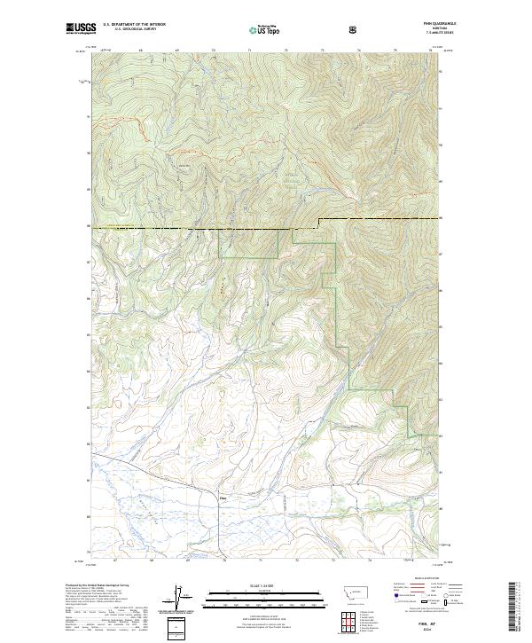
2024 Map of Finn
USGS Topo · Published 2024About this map
Finn sits at a crossroads within the Avon Valley, serving as a central point for a landscape defined by ranching and timber production. The map details a complex drainage system flowing toward Nevada Creek, with Halfway Creek and Washington Creek carving paths through the valley floor. To the north, the terrain rises sharply into the Helena National Forest, where high-elevation landmarks like Dalton Mtn and the Old Dalton Mt Lookout overlook a network of historic trails. Local routes such as the Ogden Mountain Trl and Helmville - Gould Trl traverse numerous gulches, including California Gulch and McClellan Gulch, illustrating the area's history of movement through the high country. This document preserves the modern footprint of the Lewis and Clark and Powell County boundary as it follows the high ridgelines.
Find a feature on this map
34 named features on this map. Tap any name to fly to it.
Don’t see what you’re looking for? This feature index may not catch every label — zoom into the map to look around manually.
Map Details
Editions of this 2024 Finn Map
This is the sole edition of this map. No revisions or reprints were ever made.
Other maps of this area

1889 · Helena
USGS Topo · 1:250,000

1893 · Helena
USGS Topo · 1:250,000

1899 · Helena
USGS Topo · 1:250,000

1903 · Helena
USGS Topo · 1:250,000

1947 · Butte
USGS Topo · 1:250,000

1958 · Butte
USGS Topo · 1:250,000

1958 · Avon
USGS Topo · 1:62,500

1958 · Garrison
USGS Topo · 1:62,500

1960 · Butte
USGS Topo · 1:250,000

1962 · Butte
USGS Topo · 1:250,000