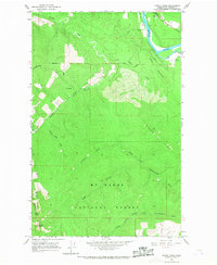
1966 Map of Finney Peak
USGS Topo · Published 1968About this map
Mt Baker National Forest covers the majority of this mid-1960s landscape, where the high ridges of the Cascades drop toward the northern river valleys. The topography is defined by significant elevations like Finney Peak and Rinker Ridge, serving as the drainage divide for several remote waterways. To the north, the Skagit River creates a wide alluvial corridor featuring Mc Leod Slough, while the southern portion of the map traces the headwaters of the North Fork Stillaguamish River and its various branches.
Find a feature on this map
19 named features on this map. Tap any name to fly to it.
Don’t see what you’re looking for? This feature index may not catch every label — zoom into the map to look around manually.
Map Details
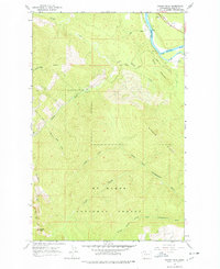
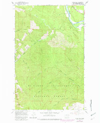
Editions of this 1966 Finney Peak Map
3 editions found
Other maps of this area

1899 · Stillaguamish
USGS Topo · 1:125,000

1901 · Stilaguamish
USGS Topo · 1:125,000

1909 · Mt Baker
USGS Topo · 1:192,000

1915 · Mt. Baker
USGS Topo · 1:250,000

1952 · Lake Shannon
USGS Topo · 1:62,500

1952 · Hamilton
USGS Topo · 1:62,500

1955 · Concrete
USGS Topo · 1:250,000

1956 · Oso
USGS Topo · 1:62,500

1958 · Concrete
USGS Topo · 1:250,000

1962 · Concrete
USGS Topo · 1:250,000