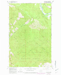
1966 Map of Finney Peak
USGS Topo · Published 1982About this map
Mt Baker Snoqualmie National Forest dominates this landscape, where the high ridges of the Cascades drop toward the river valley. The terrain is defined by the steep transition from Finney Peak and Leonards Ridge down to the sweeping curve of the Skagit River and Mc Leod Slough in the northeast corner. This map documents a working wilderness, illustrating the extensive network of forest service infrastructure required to manage these highlands, from the Finney Peak Trail to the Finney Creek Shelter located deep within the woods. Numerous drainages like Nervous Bride Creek and Deer Lick Creek carve through the slopes, feeding the larger waters of Finney Creek and the North Fork Stillaguamish River. The presence of a small Cem and a Gravel Pit near the river suggests the modest footprint of early settlement and industry at the forest's edge.
Find a feature on this map
22 named features on this map. Tap any name to fly to it.
Don’t see what you’re looking for? This feature index may not catch every label — zoom into the map to look around manually.
Map Details
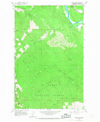
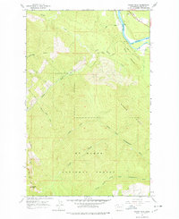
Editions of this 1966 Finney Peak Map
3 editions found
Other maps of this area

1899 · Stillaguamish
USGS Topo · 1:125,000

1901 · Stilaguamish
USGS Topo · 1:125,000

1909 · Mt Baker
USGS Topo · 1:192,000

1915 · Mt. Baker
USGS Topo · 1:250,000

1952 · Lake Shannon
USGS Topo · 1:62,500

1952 · Hamilton
USGS Topo · 1:62,500

1955 · Concrete
USGS Topo · 1:250,000

1956 · Oso
USGS Topo · 1:62,500

1958 · Concrete
USGS Topo · 1:250,000

1962 · Concrete
USGS Topo · 1:250,000