
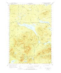
1952 Map of First Roach Pond
USGS Topo · Published 1954About this map
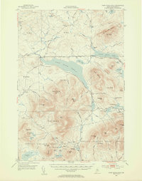
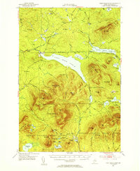
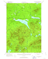
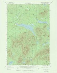
Kokadjo serves as the primary outpost in this remote section of the Maine woods, situated at the outlet of First Roach Pond where the Roach River begins its flow toward Moosehead Lake. The landscape is defined by massive unorganized territories, including the extensive Bowdoin College Grant (West) and Bowdoin College Grant (East). This mid-century survey reveals a wilderness managed for timber and conservation, featuring the State Fish Hatchery near Lily Bay Brook and a VABM Lookout Tower atop Number Four Mtn.
Find a feature on this map
78 named features on this map. Tap any name to fly to it.
Don’t see what you’re looking for? This feature index may not catch every label — zoom into the map to look around manually.
Map Details
Editions of this 1952 First Roach Pond Map
6 editions found
Other maps of this area

1920 · Moosehead Lake
USGS Topo · 1:62,500

1922 · Moosehead Lake
USGS Topo · 1:62,500

1930 · Moosehead Lake
USGS Topo · 1:62,500

1940 · Sebec
USGS Topo · 1:48,000

1943 · Sebec
USGS Topo · 1:62,500

1944 · Moosehead Lake
USGS Topo · 1:62,500

1950 · Sebec Lake
USGS Topo · 1:62,500

1951 · Greenville
USGS Topo · 1:62,500

1952 · Jo-Mary Mountain
USGS Topo · 1:62,500

1954 · North East Carry
USGS Topo · 1:62,500