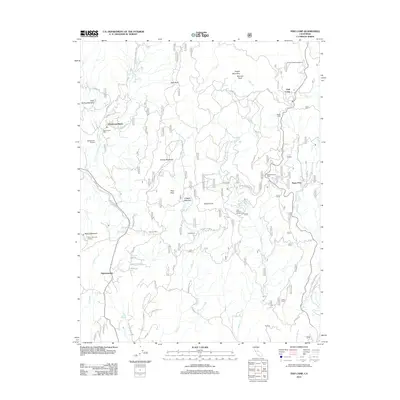
2012 Map of Fish Camp
USGS Topo · Published 2012About this map
The mountain settlement of Fish Camp sits along the northeastern edge of this Sierra Nevada landscape, serving as a gateway point near the post office. The terrain is defined by the headwaters of the Chowchilla River and the Miami Creek drainage system, which feeds into various meadows like O'Neals Meadow and Sonny Meadows. Industrial and aviation history is preserved through labels for Worman Mill, the Harris Ranch Mill, and the Manzanita Airport near the western boundary.
Find a feature on this map
61 named features on this map. Tap any name to fly to it.
Don’t see what you’re looking for? This feature index may not catch every label — zoom into the map to look around manually.
Map Details
Editions of this 2012 Fish Camp Map
This is the sole edition of this map. No revisions or reprints were ever made.
Other maps of this area

1897 · Yosemite
USGS Topo · 1:125,000

1900 · Yosemite
USGS Topo · 1:125,000

1903 · Yosemite
USGS Topo · 1:125,000

1909 · Yosemite
USGS Topo · 1:125,000

1912 · Mariposa
USGS Topo · 1:125,000

1947 · Mariposa
USGS Topo · 1:250,000

1947 · El Portal
USGS Topo · 1:62,500

1947 · Mariposa
USGS Topo · 1:62,500

1947 · Buckingham Mtn
USGS Topo · 1:24,000
1947 · Stumpfield Mtn.
USGS Topo · 1:24,000