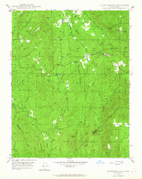
1947 Map of Stumpfield Mtn.
USGS Topo · Published 1965About this map
Stumpfield Mountain dominates the central landscape of this Sierra Nevada foothills region, where the drainage systems of the Chowchilla River converge just after the second World War. The topography is defined by the three primary branches of the river—the West Fork, Middle Fork, and East Fork—which carve through steep canyons and around prominent peaks like Indian Peak and Wildcat Mtn. This period shows a largely undeveloped forest landscape within the Sierra National Forest, characterized by remote landmarks and early infrastructure.
Find a feature on this map
32 named features on this map. Tap any name to fly to it.
Don’t see what you’re looking for? This feature index may not catch every label — zoom into the map to look around manually.
Map Details
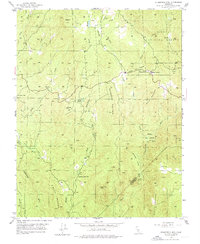
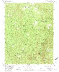
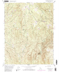
Editions of this 1947 Stumpfield Mtn. Map
4 editions found
Other maps of this area

1897 · Yosemite
USGS Topo · 1:125,000

1900 · Yosemite
USGS Topo · 1:125,000

1903 · Yosemite
USGS Topo · 1:125,000

1909 · Yosemite
USGS Topo · 1:125,000

1912 · Mariposa
USGS Topo · 1:125,000

1947 · Mariposa
USGS Topo · 1:24,000

1947 · Mariposa
USGS Topo · 1:250,000

1947 · El Portal
USGS Topo · 1:62,500

1947 · Mariposa
USGS Topo · 1:62,500

1947 · Buckingham Mtn
USGS Topo · 1:24,000