
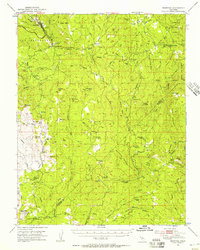
1947 Map of Mariposa
USGS Topo · Published 1953About this map
The Yosemite All-Year Highway snakes through the northern hills of this Sierra Nevada foothills region, connecting the seat at Mariposa to the high country beyond. This era of the late 1940s shows a landscape defined by small cattle-ranching communities and the legacy of Gold Rush mining. While the town of Mariposa serves as a central hub with its County Fairgrounds, the surrounding terrain is dotted with isolated community centers and one-room schools like Sebastopol School, Ben Hur Sch, and Oakvale School.
Find a feature on this map
79 named features on this map. Tap any name to fly to it.
Don’t see what you’re looking for? This feature index may not catch every label — zoom into the map to look around manually.
Map Details
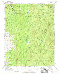
Editions of this 1947 Mariposa Map
3 editions found
Other maps of this area

1893 · Sonora
USGS Topo · 1:125,000

1896 · Sonora
USGS Topo · 1:125,000

1897 · Sonora
USGS Topo · 1:125,000

1897 · Yosemite
USGS Topo · 1:125,000

1898 · Sonora
USGS Topo · 1:125,000

1900 · Yosemite
USGS Topo · 1:125,000

1903 · Yosemite
USGS Topo · 1:125,000

1909 · Yosemite
USGS Topo · 1:125,000

1912 · Mariposa
USGS Topo · 1:125,000

1919 · Indian Gulch
USGS Topo · 1:48,000