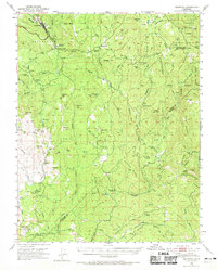
1947 Map of Mariposa
USGS Topo · Published 1969About this map
Mariposa serves as the hub of this mid-century survey, situated at the junction of the All Year Highway and roads leading into the foothills. The landscape is defined by the transition from the Sierra National Forest in the northeast down toward the grazing lands and orchards of the Chowchilla River and Fresno River drainages. Evidence of the region’s mining heritage remains visible through the Mariposa Mine and Granite King Mine, while the scattered rural infrastructure of the era is preserved in labels for the Sebastopol School, Indian Peak Sch, and the Oakvale School. Small ranching and farming communities like Mormon Bar, Bootjack, and Bailey Flats are documented alongside family-named landmarks such as John Allen Flat and Coleman Flat. The crossing of the Mariposa Co Madera Co line highlights the remote character of these southern foothills before modern expansion.
Find a feature on this map
89 named features on this map. Tap any name to fly to it.
Don’t see what you’re looking for? This feature index may not catch every label — zoom into the map to look around manually.
Map Details
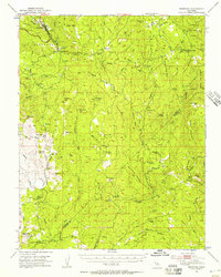
Editions of this 1947 Mariposa Map
3 editions found

Other maps of this area

1893 · Sonora
USGS Topo · 1:125,000

1896 · Sonora
USGS Topo · 1:125,000

1897 · Sonora
USGS Topo · 1:125,000

1897 · Yosemite
USGS Topo · 1:125,000

1898 · Sonora
USGS Topo · 1:125,000

1900 · Yosemite
USGS Topo · 1:125,000

1903 · Yosemite
USGS Topo · 1:125,000

1909 · Yosemite
USGS Topo · 1:125,000

1912 · Mariposa
USGS Topo · 1:125,000

1919 · Indian Gulch
USGS Topo · 1:48,000